Trough of Bowland Circular Walk
![]()
![]() Enjoy rivers, brooks, woodland and beautiful countryside on this circular walk in the Forest of Bowland AONB.
Enjoy rivers, brooks, woodland and beautiful countryside on this circular walk in the Forest of Bowland AONB.
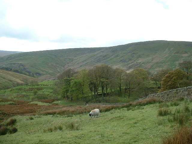
The Trough of Bowland is a particularly scenic area of the AONB with its gorgeous valleys, moorland and wooded areas. There's also lots of wildlife to look out for including buzzards and oyster catchers.
This walk starts in the pretty village of Dunsop Bridge and follows a waterside footpath along the River Dunsop to Calder Moor and Whin Fell. At Brennand Farm you turn south towards Rams Clough where you pick up a country lane which runs along the Losterdale Brook and the Langden Brook to Dunsop Bridge. This long waterside stretch is particularly lovely with little waterfalls and other small brooks to enjoy. See the street view link below to get a good idea of what to expect on this section.
To continue your walking in the area you could pick up the long distance Forest of Bowland Walk and visit the pretty Stocks Reservoir.
You could also try our Dunsop Bridge Circular Walk which starts from the village. It will take you through the lovely Langden Valley to Bleasdale water before climbing to Totridge Fell.
The nearby Inn at Whitewell is a great place to use as a base to explore the area.
Trough of Bowland Ordnance Survey Map  - view and print off detailed OS map
Trough of Bowland Open Street Map  - view and print off detailed map
Trough of Bowland OS Map  - Mobile GPS OS Map with Location tracking
Trough of Bowland Open Street Map  - Mobile GPS Map with Location tracking
Explore the Area with Google Street View 
Pubs/Cafes
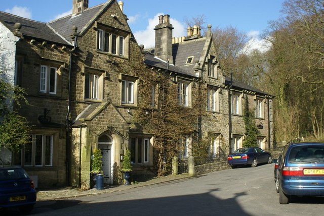
The Inn At Whitewell is a great place for refreshments after your walk. The beautiful inn sits in a wonderful location high on the banks of the River Hodder. It's a place of some note with a history stretching back hundreds of years. In the 1300’s the inn was just a small manor house, lived in by the keepers of the Royal forest. It was not until the 1700’s, that the building was transformed into a resting place where travellers en route to or from Lancaster could safely stay before continuing their perilous journey.
The inn has got a delightful interior and a nice outdoor seating area with views over the river. It's the ideal spot to rest your legs on a summer day. After your meal you can enjoy a stroll along the river where there are stepping stones and a waterfall nearby. You can find the inn a couple of miles south of Dunsop Bridge at postcode BB7 3AT.


Picture above: the Inn at Whitewell and the River Hodder stepping stones just below the inn.
Dog Walking
The area is great for dog walking and the Inn at Whitewell mentioned above is also dog friendly.
Further Information and Other Local Ideas
If you have some time pay a visit to the nearby Bowland Wild Boar Park. The park is a highglight of the area with animal feeding, tractor rides, plays areas and a cafe. There's also some nice riverside walks along the River Hodder here too.
There's lots of different animals in the park including Red Deer, Peacock, Ostriches, Emu and of course Wild Boar. You can explore the site on 7 different waymarked nature trails. It's a lovely place for a stroll with bluebell woods, sculptures and plenty of wildlife to look out for on the way.
The park is located in the heart of the Trough of Bowland situated about 2 miles from the picturesque village of Chipping, on the Chipping to Dunsop Bridge road. They are signposted clearly from Chipping and have a postcode of PR3 2QT for your sat navs.


Above: Views of the park with the River Hodder and a wooden sculpture on the right.
Cycle Routes and Walking Routes Nearby
Photos
Sykes Farm Trough of Bowland. Taken from Sykes Nab. The farm was occupied in the 1790's by William 'Wild Will' Whitaker a skinner who moved there from Skin House Grindleton. He farmed Sykes farm with his brother in law 'Darned Dick' Richard Place so called because of his darned clothes. It said at that time if you put a bucket in the beck for water there would be a salmon in it.


