Uffmoor Wood - Halesowen Walk
![]()
![]() These attractive woods near Romsley cover over 200 acres with miles of waymarked trails to try. The shady paths are particularly lovely in the spring when there are carpets of bluebells to enjoy. There's also pretty little streams with wooden footbridges and lots of wildlife. Look out for fallow deer, foxes and a variety of birdlife as you make your way through the woods.
These attractive woods near Romsley cover over 200 acres with miles of waymarked trails to try. The shady paths are particularly lovely in the spring when there are carpets of bluebells to enjoy. There's also pretty little streams with wooden footbridges and lots of wildlife. Look out for fallow deer, foxes and a variety of birdlife as you make your way through the woods.
The woods are located very close to the splendid Clent Hills Country Park. Here you'll find miles of National Trust devised footpaths with magnificent views over the Cotswolds, Shropshire Hills and Welsh borders from the high points.
About a mile east of the woods you'll find the Illey Way. This dismantled railway line will take you through the countryside to Waseley Hills Country Park and Woodgate near Halesowen.
Postcode
B62 0NG - Please note: Postcode may be approximate for some rural locationsUffmoor Wood Ordnance Survey Map  - view and print off detailed OS map
Uffmoor Wood Open Street Map  - view and print off detailed map
Uffmoor Wood OS Map  - Mobile GPS OS Map with Location tracking
Uffmoor Wood Open Street Map  - Mobile GPS Map with Location tracking
Further Information and Other Local Ideas
Just to the east of the woods you can pick up the Monarch's Way long distance trail. If you follow it north it will take you into Halesowen or south towards the popular Lickey Hills.
To the west there's the historic Hagley Hall Park and the climb to Wychbury Hill.
Just to the east there's the Leasowes Park Halesowen Walk to try. In the popular park there's woodland, grassland, streams, waterfalls and large ponds which attract a variety of wildlife.
For more walking ideas in the area see the Worcestershire Walks page.
Cycle Routes and Walking Routes Nearby
Photos
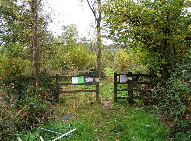
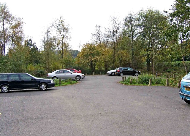
Path in Uffmoor Wood This is one of the main paths in the wood, and starts from the car park. The Woodland Trust on their website describe the wood as "mostly the site is planted ancient woodland, dominated by stands of conifers and mixed broadleaves with birch regeneration. A few isolated pockets of semi-natural ancient woodland can still be found, along the edges of watercourses. Regular coppicing in the past has created a distinct woodland structure, still evident in the southeast corner though most of the site is now dominated by plantation stands".


