GPS Cycle and Walking Routescycle iconwalk icon

Underbank Reservoir

3.11 miles (5 km)

Ordnance Survey Map Open Streetmap Follow the footpaths around Underbank Reservoir on this pleasant walk in the Peak District. It's about a 3 mile walk around the lake with a nice quiet footpath on the southern side and a roadside path on the northern side.
The walk starts from the parking area on the southern side of the water, just off Oaks Lane. It's located just to the west of the town of Stocksbridge, in the City of Sheffield. From here you can pick up the trails heading past woodland to the Little Don River at the western end. You then head along the north side, passing Sheephouse Wood. At the eastern end you will pass along the impressive Dam wall with more views of the river.
To extend the walk pick up the Barnsley Boundary Walk and head west to the nearby Langsett Reservoir. Here you'll find a popular circular walk through the woodland and open moorland around the reservoir.

Postcode

S36 4GH - Please note: Postcode may be approximate for some rural locations

Underbank Reservoir OS Map Ordnance survey map - Mobile GPS OS Map with Location tracking

Underbank Reservoir Open Street Map Open Streetmap - Mobile GPS Map with Location tracking

Cycle Routes and Walking Routes Nearby

Photos

View through the trees, east towards Underbank reservoir dam - geograph.org.uk - 921314

View through the trees, east towards Underbank reservoir dam

Footpath along the top of Underbank Reservoir Dam - geograph.org.uk - 921282

Footpath along the top of Underbank Reservoir Dam

Underbank Reservoir - geograph.org.uk - 793369

Underbank Reservoir

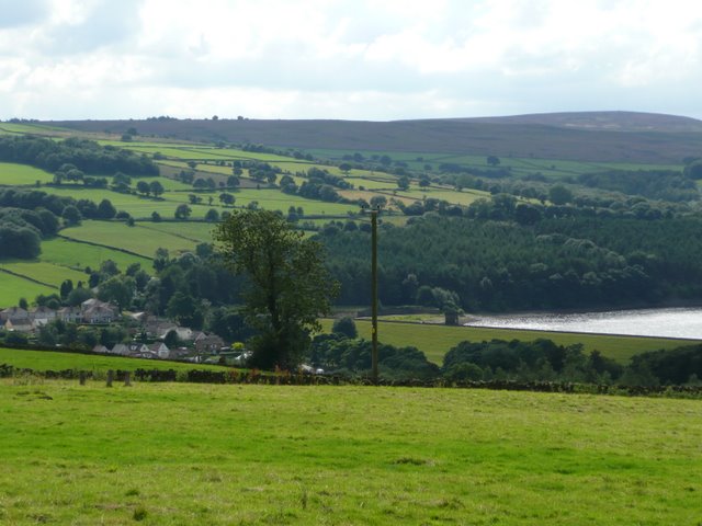
View towards Underbank Reservoir and Whitwell Moor - geograph.org.uk - 921034

View towards Underbank Reservoir and Whitwell Moor

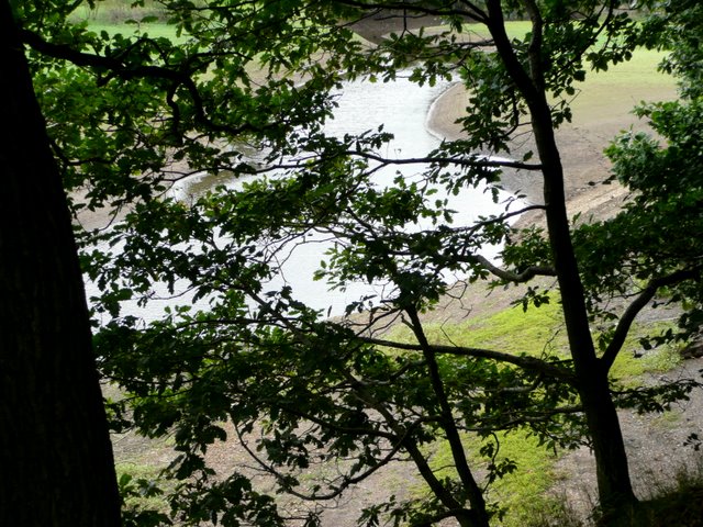
View through trees, the Little Don enters Underbank Reservoir - geograph.org.uk - 921309

View through trees, the Little Don enters Underbank Reservoir

Underbank Reservoir South Side Footpath - geograph.org.uk - 1323440

Underbank Reservoir South Side Footpath

The end of the spillway from Underbank reservoir - geograph.org.uk - 1022428

The end of the spillway from Underbank reservoir

Stocksbridge - Little Don Outlet - geograph.org.uk - 1396745

Stocksbridge

GPS Files

GPX File

Underbank Reservoir.gpx (On Desktop:Right Click>Save As. On Ipad/Iphone:Click and hold>Download Linked File)

Memory Map Route

Underbank Reservoir.mmo (On Desktop:Right Click>Save As. On Ipad/Iphone:Click and hold >Download Linked File)