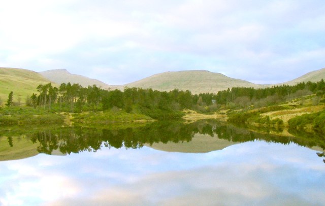
Upper and Lower Neuadd Reservoirs
![]()
![]() These two pretty reservoirs are located on the edge of the Brecon Beacons National Park near to the town of Merthyr Tydfil. It's a remote spot and a lovely place for a peaceful walk in stunning surroundings.
These two pretty reservoirs are located on the edge of the Brecon Beacons National Park near to the town of Merthyr Tydfil. It's a remote spot and a lovely place for a peaceful walk in stunning surroundings.
The walk starts from the Neuadd car park at Taf Fechan Forest, just south of the reservoirs.
From here you can follow country lanes and other tracks up to the water. You can then follow trails along the eastern side of the reservoirs with Tor Glas towering above you on your right. It's a beautiful place with fine views across the water to the other surrounding hills and mountains.
Postcode
CF48 2UT - Please note: Postcode may be approximate for some rural locationsUpper and Lower Neuadd Reservoirs Ordnance Survey Map  - view and print off detailed OS map
Upper and Lower Neuadd Reservoirs Open Street Map  - view and print off detailed map
Upper and Lower Neuadd Reservoirs OS Map  - Mobile GPS OS Map with Location tracking
Upper and Lower Neuadd Reservoirs Open Street Map  - Mobile GPS Map with Location tracking
Pubs/Cafes
The excellent Old Barn Tea Room is located right next to the Taf Fechan Forest near the start of the route. It's a great place to enjoy a ploughmans lunch or a delicious cream tea after your exercise. The tea room is in a lovely spot with a delightful garden area where you can relax if the weather is fine. You can find it just to the south of the car park at postcode CF48 2UT for your sat navs. It's also dog friendly if you have your canine friend with you.
Further Information and Other Local Ideas
Head south through Taf Fechan Forest and you could visit Pentwyn Reservoir and Pontsticill Reservoir. You can follow the Taff Trail to the reservoirs and then continue into Merthyr Tydfil to visit the impressive Cyfarthfa Castle.
The climb to Fan Y Big and the Cribyn starts just to the east or you could start it from the same car park as on this walk. The climb gives fabulous views back down to the water.
Talybont Reservoir is also located just to the east and the Llwyn-on Reservoir just to the south west.
The epic Cambrian Way passes through the area. The long distance waymarked route starts from the city of Cardiff and runs for nearly 300 miles through the Brecon Beacons, the Cambrian Mountains and Snowdonia before finishing on the North Wales coast at Conwy.
Cycle Routes and Walking Routes Nearby
Photos
Lower Neuadd Reservoir. View north from the dam wall on the lower of the two reservoirs south of the Brecon Beacons. To the left is Pen-y-fan, the highest point in South Wales. Reflected in the centre is Crybin
This is a view across the dam of the lower of the two Neuadd Reservoirs taken on our way up to Pen Y Fan.
Upper Neuadd Reservoir was built between 1896 and 1902 in part from limestone quarried near Dowlais brought in using a temporary railway line constructed from Torpantau halt on the Brecon & Merthyr Junction railway. This route is now a bridleway followed by the Taff Trail. Other stone was sourced from quarries between Pant and Pontsticill down the valley. With a water level of 1506ft, this reservoir is the highest in Fforest Fawr Geopark and indeed in Brecon Beacons National Park. The Upper Reservoir has a capacity of 340 million gallons and the dam, seen here on the right, is 75ft high. The ridge in the background is Tor Glas reaching over 600m in height. A snow storm was on its way, indicated by the ominous black clouds.


