Walney Island Coastal Lighthouse Walk
![]()
![]() This Cumbrian island is located on Morecambe Bay in Barrow in Furness. It's a fine place for walking and wildlife watching with an abundance of sea birds to look for from the island's two nature reserves.
This Cumbrian island is located on Morecambe Bay in Barrow in Furness. It's a fine place for walking and wildlife watching with an abundance of sea birds to look for from the island's two nature reserves.
This walk takes you from South to North Walney using a section of the Cistercian Way which runs across the island.
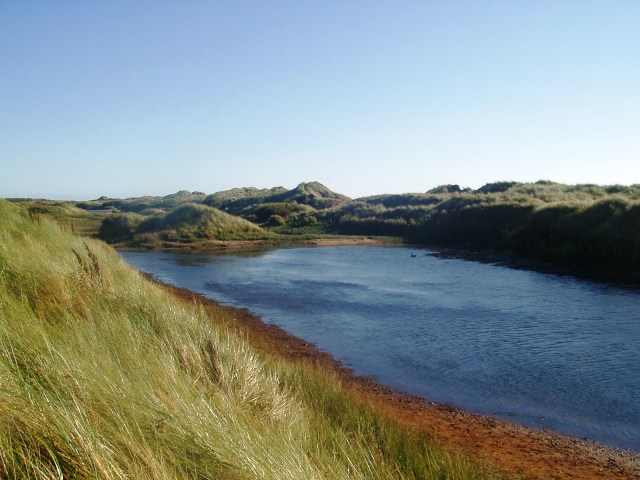
The walk starts at the South Walney Nature Reserve car park. The reserve is a splendid place for wildlife with lots of coastal birds and the only grey seal colony in Cumbria to see. It also includes several waymarked colour coded walking trails where you can look out for species including eider duck, great black-backed gull, oystercatcher, ringed plover, shelduck, curlew, redshank, redstart and pink-footed geese. From the car park at the reserve you can pick up footpaths heading north to link with the Cistercian Way around Snab Point. This will take you north along country lanes to Biggar and Vickerstown. Here you pick up a coastal path along the western side of the island which will take you into the North Walney Nature Reserve. There's more nice trails here with sand dunes and a series of ponds where you can look out for natterjack toads.
From Walney there are fine views over to Piel Island to the east. The island includes a ruined 14th century castle and a historic pub dating back hundreds of years. You can catch a ferry to the island from nearby Roa Island.
Postcode
LA14 3YQ - Please note: Postcode may be approximate for some rural locationsWalney Island Ordnance Survey Map  - view and print off detailed OS map
Walney Island Open Street Map  - view and print off detailed map
*New* - Walks and Cycle Routes Near Me Map - Waymarked Routes and Mountain Bike Trails>>
Walney Island OS Map  - Mobile GPS OS Map with Location tracking
Walney Island Open Street Map  - Mobile GPS Map with Location tracking
Pubs/Cafes
The Crown is a good choice for some refreshments on the walk. The pub dates from 1865 and serves good quality home-cooked. They also have a nice garden area with a BBQ for warmer weather. You can find them at North Scale with postcode LA14 3RP for your sat navs. They are also dog friendly if you have you canine friend with you.
Further Information and Other Local Ideas
Head east and you can pick up the circular Barrow in Furness Walk which uses part of the Cumbria Coastal Way to visit the historic ruins at Furness Abbey and the sand dunes at the Sandscale Haws National Nature Reserve.
Just to the north of Barrow there's also Dalton-in-Furness where you can visit Dalton Castle. The 14th century Pele Tower has strong connections to Furness Abbey and is run by the National Trust.
For more walking ideas in the area see the Lake District Walks and the Cumbria Walks pages.
Cycle Routes and Walking Routes Nearby
Photos
Gullery in the South Walney Nature Reserve. The Nature Reserve has a large gullery with 14,000 pairs of herring gulls and lesser black-backed gulls. This view is from the permissive footpath near the south shore of the island at South End Rabbit Warren
Walney Bridge and Channel. From the Channelside Park on Barrow Island, just north of the bridge. Eight hours before this picture was taken, the highest tide of 2006 flooded the car park of the Ferry Hotel, right.


