Watergate Forest Park Walks with OS Map
![]()
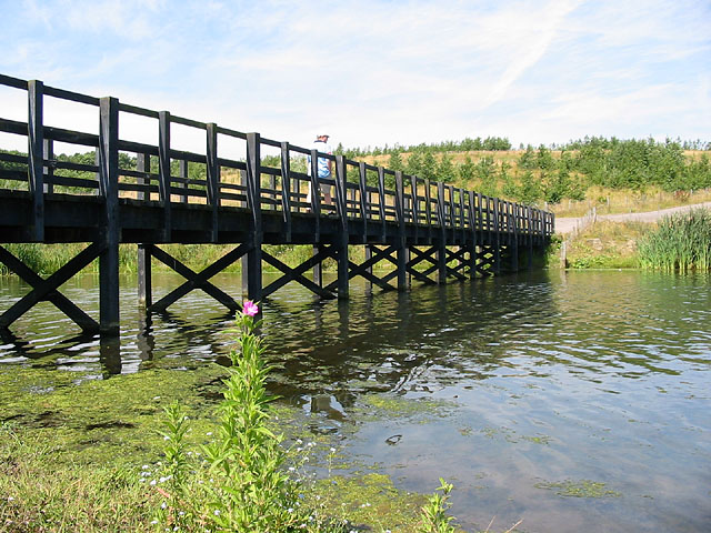
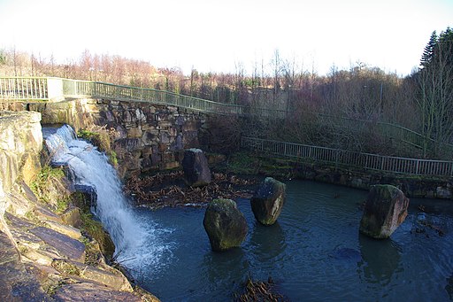
![]() The popular park is located on the site of the former Watergate colliery in Gateshead. It includes woodland trails, a pretty lake, a waterfall and wildflower meadows.
The popular park is located on the site of the former Watergate colliery in Gateshead. It includes woodland trails, a pretty lake, a waterfall and wildflower meadows.
In the park there are two waymarked walking trails to try. One circular trail takes you around the lake while the second nature trail visits a series of sculptures. There are also cycling trails on the bridleways and permissive paths on the site.
You can start the walk from the main car park at the eastern end of the site, just off the B6317 Whickham Highway at Lobley Hill. From here you can pick up the footpaths heading south west towards the lake and the Washingwell Woods.
Postcode
NE11 9RQ - Please note: Postcode may be approximate for some rural locationsPlease click here for more information
Watergate Forest Park Ordnance Survey Map  - view and print off detailed OS map
Watergate Forest Park Open Street Map  - view and print off detailed map
*New* - Walks and Cycle Routes Near Me Map - Waymarked Routes and Mountain Bike Trails>>
Watergate Forest Park OS Map  - Mobile GPS OS Map with Location tracking
Watergate Forest Park Open Street Map  - Mobile GPS Map with Location tracking
Pubs/Cafes
The on site Watergate Café is a nice place for refreshments after your exercise. It's located through the small car park next to Emmanuel College.
Dog Walking
The park is ideal for dog walking so you'll probably see plenty of other owners on a fine day.
Further Information and Other Local Ideas
To continue your walking in the area you could head west and visit Derwent Walk Country Park. There's nice riverside trails along the Derwent River on the Derwent Valley Walk which runs through the park. There's also the adjacent Thornley Woods where there's a good visitor centre and a sculpture trail.
Cycle Routes and Walking Routes Nearby
Photos
Footbridge over the lake. The park is situated on the site of the former Watergate Colliery and is managed by Gateshead Council.


