Waveney Valley Walks
![]()
![]() The Waveney Valley is a wonderful place for waterside walking. With rivers, broads, nature reserves and several picture postcard villages it's the ideal place for easy walking on flat footpaths.
The Waveney Valley is a wonderful place for waterside walking. With rivers, broads, nature reserves and several picture postcard villages it's the ideal place for easy walking on flat footpaths.
This walk through the valley visits some of the highlights of the area. Starting at Beccles you'll first follow the Angles Way along the River Waveney to Oulton Broad and Carlton Marshes in Lowestoft.
The route then continues to Somerleyton before finishing at Fritton Lake Country Park.
The walk starts at the public car park at the northern end of Beccles, just north of the train station. From here you can pick up the Angles Way and follow the waymarked footpath north along the river to Aldeby Hall. The route continues east to Castle Marsh before coming to Oulton Broad on the western outskirts of Lowestoft. The broad and nature reserve are an excellent place for birdwatching with several species visiting the water.
You continue north past Flixton Marshes to Somerleyton. It's a very pretty village which includes the historic Somerleyton Hall. The hall has a fascinating history and is surrounded by beautiful gardens. There's also train station here and at Lowestoft so you can finish the walk early and return on the train to Beccles if you prefer.
This route continues north to visit Fritton Lake Country Park near St Olaves. Here you'll find the expansive Fritton Lake surrounded by peaceful woodland trails.
Waveney Valley Ordnance Survey Map  - view and print off detailed OS map
Waveney Valley Open Street Map  - view and print off detailed map
Waveney Valley OS Map  - Mobile GPS OS Map with Location tracking
Waveney Valley Open Street Map  - Mobile GPS Map with Location tracking
Pubs/Cafes
In Beccles the Waveney House Hotel is in a splendid spot right next to the river. You can enjoy refreshments on the lovely riverside terrace with fine views across the water to the surrounding countryside. The hotel also has an interesting history having been built in the early 16th Century during the reign of King Henry VIII. The first owner William Rede I, was the first Lord of the Manor of Beccles, after the Dissolution of the Monasteries. Inside you can see evidence of its past with the fine vaulted oak-beamed ceilings. You can find the hotel at Puddingmoor with a postcode of NR34 9PL for your sat navs.
Further Information and Other Local Ideas
Other highlights of the valley include the town of Bungay where you can try the Bungay Riverside Walk along the Waveney. You can also pay a visit to Bungay Castle, a ruined Norman structure which is Grade I listed.
The village of Burgh Castle is also well worth a visit. There's an old Roman Fort and fine views to Breydon Water and the River Yare here.
For more walking ideas in the area see the Norfolk Broads Walks page.
Cycle Routes and Walking Routes Nearby
Photos
Cottages in Somerleyton on the north bank of the River Waveney, about 7 miles from Lowestoft and 8 miles from Yarmouth. The population numbers approximately 300. The village is an example of 19th century planning of housing consisting of thatched cottages and a village school around a newly created green. When Samuel Morton Peto took over the Somerleyton Estate in 1844 he began to reconstruct the Hall and to replan the village as a model village in the spirit of the times. The main road was diverted through the village which became centred on the village green, a horse-shoe shaped area with new houses around the perimeter, the school at one end and the village pump at the other. The new houses were designed by John Thomas, the architect of Somerleyton Hall. Peto also brought the railway to the village.
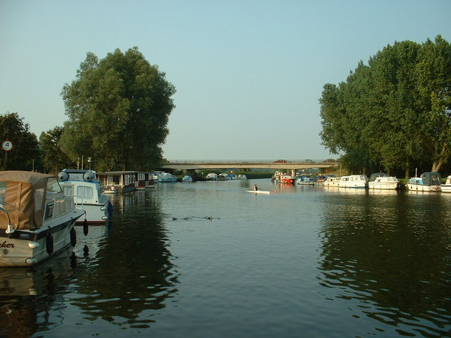
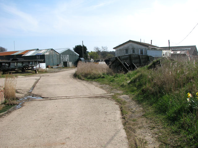
Boatyard sheds beside the River Waveney in St Olaves St Olaves marks the first safe moorings since Burgh Castle. A high wooded ridge to the east of the village stretches all the way from Burgh Castle in the north to Oulton Broad in the south. The village is situated within the Broads National Park, on the bank River Waveney, about 10 kilometres south-west of the town of Great Yarmouth in the country of Norfolk. Before 1972 the village formed part of the Lothingland Rural District in Suffolk. St Olaves Bridge is the first bridging point on the Waveney above Great Yarmouth.
