Wharram Percy
![]()
![]() This circular walk visits the fascinating medieval village of Wharram Percy in the Yorkshire Wolds. After strolling around the site you'll then pick up sections of the Yorkshire Wolds Way and the Centenary Way to explore the surrounding countryside.
This circular walk visits the fascinating medieval village of Wharram Percy in the Yorkshire Wolds. After strolling around the site you'll then pick up sections of the Yorkshire Wolds Way and the Centenary Way to explore the surrounding countryside.
You can start the walk from the car park, just to the east of the village. Follow the footpaths west and you will come to the site which is in a particularly good state of preservation. It dates from the 10th century and includes a ruined church and a mill pond with the layout of the other buildings visible in the surrounding fields. The village was occupied for six centuries before it was abandoned soon after 1500. English Heritage have provided information panels and an audio guide which you can download from their website.
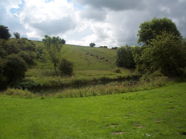
As well as the fascinating history, the site is also very pretty with wildflowers in the summer and the surrounding rolling hills to admire.
After exploring the village the route heads south through the lovely Deep Dale before turning east to join up with the Centenary Way. You can follow this north to Wharram le Street which has a noteworthy Anglo-Saxon church. The nave and lower part of the west tower were built in the early or mid-11th century, in the last decades before the Norman conquest of England.
The final section loops round past the old Wharram railway station which closed in 1958. You can still see the old station house which is now a private residence.
The route then returns to the medieval village and follows the track back to the car park.
To continue your walking in the area you can follow the Wolds Way east to Birdsall Wold or north to Wintringham. Heading south west will take you to the little village of Thixendale via the delightful scenery of Raisthorpe Wold, Court Dale and Water Dale.
Postcode
YO17 9TD - Please note: Postcode may be approximate for some rural locationsPlease click here for more information


