Widdop Reservoir
![]()
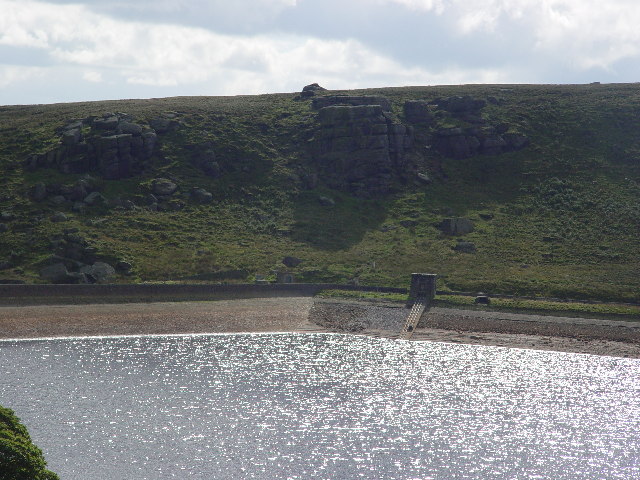
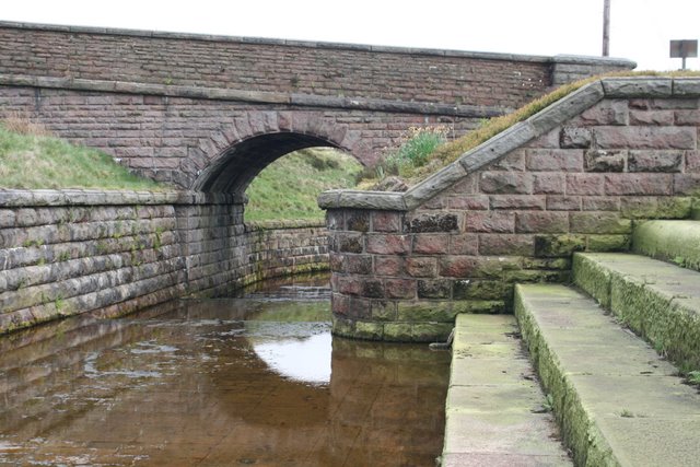
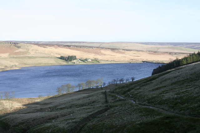
![]() Widdop Reservoir is located near Hebden Bridge in Yorkshire. This circular walk takes you around the reservoir and through some stunning scenery. You begin at the Clough Foot car park and follow Graining Water to the reservoir. You then climb to Great Edge Bottom and Flaugh Hill with great views of the reservoir and surrounding countryside. You return via Scar Hollow and Cludders Slack using the Pennine Bridleway long distance walking route.
Widdop Reservoir is located near Hebden Bridge in Yorkshire. This circular walk takes you around the reservoir and through some stunning scenery. You begin at the Clough Foot car park and follow Graining Water to the reservoir. You then climb to Great Edge Bottom and Flaugh Hill with great views of the reservoir and surrounding countryside. You return via Scar Hollow and Cludders Slack using the Pennine Bridleway long distance walking route.
If you would like to continue your walk you could head to the nearby Hardcastle Crags where you will find a beautiful woodland valley with streams and waterfalls. The Gorple Reservoir walk and the Walshaw Dean Reservoir walk also start from the same location.
Postcode
HX7 7AT - Please note: Postcode may be approximate for some rural locationsWiddop Reservoir Ordnance Survey Map  - view and print off detailed OS map
Widdop Reservoir Open Street Map  - view and print off detailed map
Widdop Reservoir OS Map  - Mobile GPS OS Map with Location tracking
Widdop Reservoir Open Street Map  - Mobile GPS Map with Location tracking
Pubs/Cafes
The Pack Horse Inn is located a short distance south east of the reservoir. This interesting historic pub is located in a very remote position and dates from the 17th century. Inside there's a cosy bar with fires, window seats cut into the partly panelled stripped-stone walls (from where you can take in the beautiful views), sturdy furnishings and some horse related mementoes. There are also seats outside in the cobblestoned beer garden which has attractive hanging baskets. They have a good selection of ales, a decent menu and are also dog friendly. You can find the pub on the Widdop Road about a mile south east of the car park, at a postcode of HX7 7AT.
Further Information and Other Local Ideas
If you follow the Burnley Way or Pennine Bridleway west you could visit Cant Clough Reservoir and Hurstwood Reservoir near Burnley. There's some more nice waterside footpaths to try here.


