Windsor River Walk
![]()
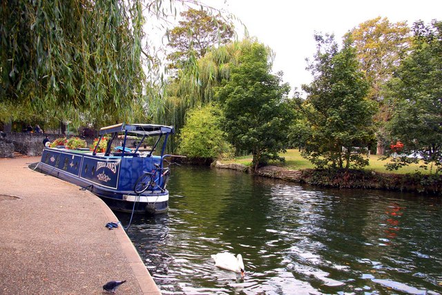
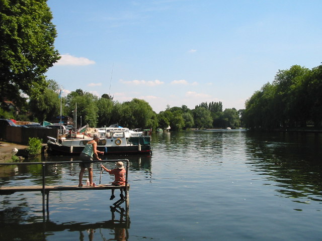
![]() Enjoy a riverside stroll along the Thames Path in Windsor and Eton on this lovely waterside walk in Berkshire. The circular walk visits Eton Wick, Eton Great Common, Eton College and Datchet. There's weirs, old bridges, lots of boats and splendid views of Windsor Castle, Eton College and the Berkshire countryside to enjoy.
Enjoy a riverside stroll along the Thames Path in Windsor and Eton on this lovely waterside walk in Berkshire. The circular walk visits Eton Wick, Eton Great Common, Eton College and Datchet. There's weirs, old bridges, lots of boats and splendid views of Windsor Castle, Eton College and the Berkshire countryside to enjoy.
The walk starts from Windsor and Eton Riverside train station. From here it is a short hop to the river where you cross to the north side on Windsor Bridge. Head west along the path and you will pass Deadwater Ait Island and the Windsor Railway Bridge which was designed by Isambard Kingdom Brunel in the mid 19th century.
You continue past Windsor Racecourse before turning north towards the village of Eton Wick and then turning east across Eton Great Common. Soon you will come to the famous Eton College where the path crosses the playing fields to the north of the college. You can turn south here and take a short detour to explore the college which was founded in 1440 by King Henry VI. The public school is home to some wonderful architecture including a Gothic chapel. On certain days you can enjoy a guided tour of the chapel, Upper School, Lower School and the Museum of Eton Life.
After leaving the college the route continues east, passing Romney Lock, Romney Island and the Jubilee River. Here you can pick up the Jubilee River footpath which takes you to Maidenhead. This walk continues past Datchet golf course towards the village of Datchet where you pick up the Thames Path again and turn north. Cross the Victoria Bridge before rounding Home Park and returning to the train station.
To extend your walking in the area you could head west from Eton Wick and visit Dorney Lake.
Windsor Great Park is another great place for walkers with lakes, deer and woodland to see.
Windsor River Walk Ordnance Survey Map  - view and print off detailed OS map
Windsor River Walk Open Street Map  - view and print off detailed map
Windsor River Walk OS Map  - Mobile GPS OS Map with Location tracking
Windsor River Walk Open Street Map  - Mobile GPS Map with Location tracking
Further Information and Other Local Ideas
The Maidenhead River Walk runs from the nearby town to Windsor. It's about a 7 mile walk along the footpath passing Dorney Lake and Taplow on the way.
Across the river to the north in Buckinghamshire there's two fine country parks in the shape of Black Park Country Park and Langley Park Country Park. There's miles of good cycling and walking trails through the woodland in these parks. Langley Park's rhododendron gardens and Arboretum are also particularly lovely.
The Three Castles Path starts/finishes at the castle in the town. This historically themed long distance trail will take you to Winchester Castle, visiting the ruined Odiham Castle on the way.
For more walking ideas in the area see the Berkshire Walks page.


