Wistlandpound Reservoir Walk
![]()
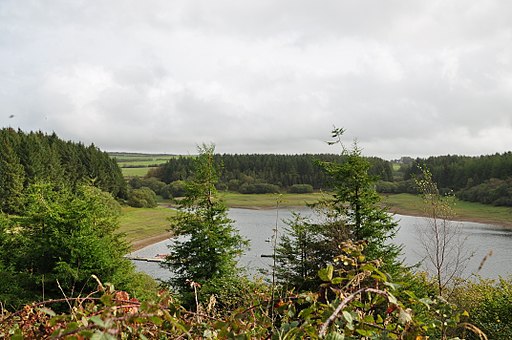
![]() This pretty reservoir on the edge of Exmoor has a nice walking trail running around the perimeter.
This pretty reservoir on the edge of Exmoor has a nice walking trail running around the perimeter.
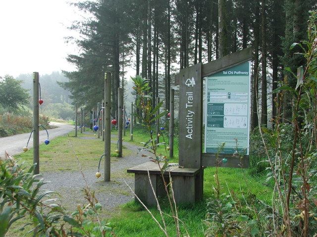
The site is well managed with two wheelchair and pushchair accessible paths and information boards dotted along the route. Along the way there are great views across the water to the surrounding conifer woodland. Wildlife enthusiasts can look out for various waterfowl on the water and buzzards in the skies above.
Start your walk from the car park at the northern end of the lake. Then head south to pick up the trails around the water. There's also some woodland trails to try as well if you have time.
The reservoir is located just to the south of Blackmoor Gate, the western gateway to Exmoor National Park.
Postcode
EX31 4SJ - Please note: Postcode may be approximate for some rural locationsWistlandpound Reservoir Ordnance Survey Map  - view and print off detailed OS map
Wistlandpound Reservoir Open Street Map  - view and print off detailed map
Wistlandpound Reservoir OS Map  - Mobile GPS OS Map with Location tracking
Wistlandpound Reservoir Open Street Map  - Mobile GPS Map with Location tracking
Pubs/Cafes
To the north is Blackmoor Gate where you can enjoy some post walk refreshment at the Old Station House Inn. The pub is housed in a converted railway station on the old Lynton to Barnstaple Railway. It's a lovely place with a nice garden area to sit out in on warmer days.
They also offer a good selection of food & drink including a fine cream tea. You can find them at postcode EX31 4NW for your sat navs. The pub
Dog Walking
The waterside path is a nice place for a dog walk. The Old Station House Inn is also dog friendly.
Further Information and Other Local Ideas
Just to the east is the village of Challacombe where you will find some pleasant trails, an old mill and a noteworthy stone pub dating to the 16th century. Near here there's also Pinkery Pond, a remote beauty spot with a picturesque pond popular with wild swimmers. You'll also find the 487m high Chains Barrow Hill in this area.
Just to the west is the National Trust's Arlington Court. There's some lovely trails through the gardens and parkland of this 19th century house.


