Woolmer Forest
![]()
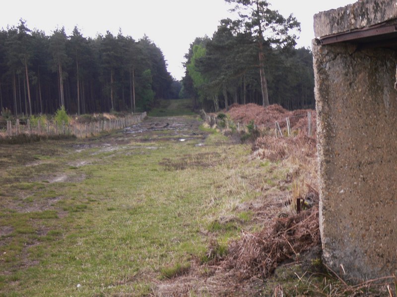
![]() This large area of heathland and woodland has public footpaths to follow from the hamlet of Conford in the north eastern part of the site.
This large area of heathland and woodland has public footpaths to follow from the hamlet of Conford in the north eastern part of the site.
It is a significant area with a diversity of habitats supporting twelve known native species of reptiles and amphibians. Scenery includes oak-birch woodland, conifer plantations, open sandy heaths, and rough grazed pastures. There's lots of interesting plants and flowers to look out for. Also keep your eyes peeled for birds such as Dartford warbler and European nightjar.
N.B The Forest is a Range Danger Area and it is illegal and dangerous to enter when the red flags are flying. Access is NOT permitted most weekdays between 8am and 4pm and some weekends.
The woods are located very close to the large village of Liphook. You could follow footpaths from the village to the site, visiting the viewpoint at Weavers Down and the pretty lakes on the adjacent Foley Estate.
The National Trust managed Ludshott Common and Bramshott Common are located just to the east. These are good options if you would like to extend your walking in the area.
The Shipwrights Way cycling and walking trail skirts the western edge of the forest. You can pick up the trail and follow it north to Alice Holt Forest or south to Hayling Island and Portsmouth on the coast.
Woolmer Forest Ordnance Survey Map  - view and print off detailed OS map
Woolmer Forest Open Street Map  - view and print off detailed map
Woolmer Forest OS Map  - Mobile GPS OS Map with Location tracking
Woolmer Forest Open Street Map  - Mobile GPS Map with Location tracking
Pubs/Cafes
On the western side of the forest you'll find the small village of Greatham and the noteworthy Greatham Inn. The pub includes nice old features such as exposed brickwork, open fireplaces and wooden beams. They serve good food and have a large garden area with country views. They can be found at postcode GU33 6AD.
Further Information and Other Local Ideas
Head north and you can visit the Hogmoor Inclosure in Bordon. The area has lots of family activities with woodland walking and cycling paths plus a sculpture trail.


