Yare Valley Walk
![]()
![]() Follow the River Yare from Bowthorpe to Marston Marsh on this deilghtful riverside walk near Norwich.
Follow the River Yare from Bowthorpe to Marston Marsh on this deilghtful riverside walk near Norwich.
You start off in Bowthorpe Southern Park, a pleasant local park with ponds, grassland, horses and a car park.
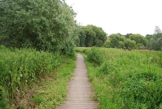
The route then runs for a distance of roughly 6 miles, following a flat footpath south east past Bowthorpe Marshes, Colney, Earlham Park and the University of East Anglia. There's some lovely nature trails here, taking you through the university grounds which include a man made broad and a boardwalk.
The route then passes Cringleford before finishing on the Ipswich Road in Tuckswood. Here you will find the wildlife rich Marston Marshes, a nature reserve and a nice scenic area to end the walk.
To continue your walking through the Yare Valley you could pick up the Wherryman's Way. This longer route takes you east from Norwich, through the Norfolk Broads to the coast at Great Yarmouth. The route also links up with another riverside walk in the shape of the Tas Valley Way around Cringleford.
Yare Valley Ordnance Survey Map  - view and print off detailed OS map
Yare Valley Open Street Map  - view and print off detailed map
Yare Valley OS Map  - Mobile GPS OS Map with Location tracking
Yare Valley Open Street Map  - Mobile GPS Map with Location tracking
Pubs/Cafes
On the trail you could enjoy a pit stop at The Red Lion near Cringleford. It's a historic pub of some note, dating all the way back to the 17th century. There's a charming interior with Dutch gables, beams, panelled walls and inglenook fireplaces. Parking is available and there's also a large garden to relax in on warmer days. You can find them at postcode NR4 7LD for your sat navs.
Further Information and Other Local Ideas
Head north and you could explore the new Broadland Country Park near Horsford. The park includes cycling and walking trails with woodland and lots of wildlife to see. Horsford Woods is also located in this area.
Near here there's Taverham Mill to explore. The mill is a wildlife rich nature reserve with three colour coded walking trails taking you to grassland, woodland, water meadow and a wild flower meadow. The Costessey Circular Walk can also be picked up in this area. There's nice views of the of the valleys of the rivers Wensum and Tud on this easy walk.


