Alyn Waters Country Park
![]()
![]() Enjoy peaceful walking and cycling in this lovely country park in the Alyn Valley, Wrexham. The Park is split into two sections either side of the River Alyn which runs through the centre of the park. As such there are delightful riverside walks to enjoy and other well surfaced paths taking you through woodland and grassland.
Enjoy peaceful walking and cycling in this lovely country park in the Alyn Valley, Wrexham. The Park is split into two sections either side of the River Alyn which runs through the centre of the park. As such there are delightful riverside walks to enjoy and other well surfaced paths taking you through woodland and grassland.
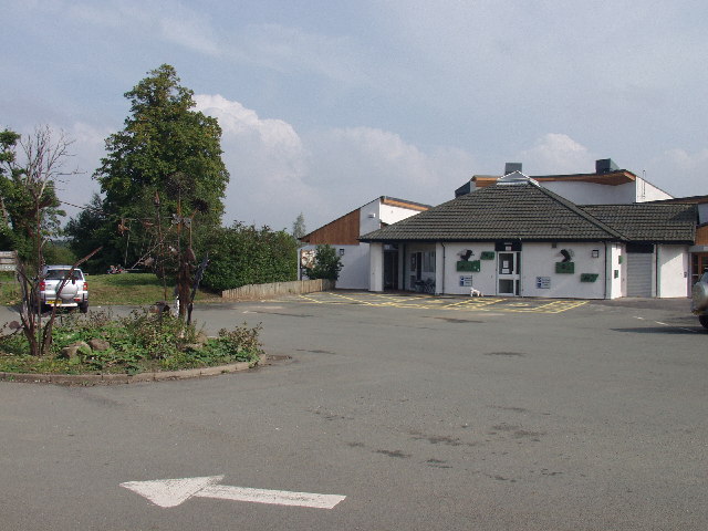
Alyn Waters also contains a visitor centre with a cafe and gift shop, a Local Nature Reserve and a Trim Trail with a selection of different simple exercise equipment. Look out for a variety of wildlife including kingfishers, buzzards, kestrels, foxes, adders, grass snakes, smooth newts and a variety of bats.
Alyn Waters is located 3 miles North of Wrexham between Gwersyllt, Bradley and Llay. The Wat's Dyke Way Heritage Trail runs through the park so you could follow this walking route if you would like to continue your walk. Also nearby is Waun-y-llyn Country Park where you can climb to the top of Hope Mountain for wonderful views of the region.
Postcode
LL11 4AG - Please note: Postcode may be approximate for some rural locationsAlyn Waters Country Park Ordnance Survey Map  - view and print off detailed OS map
Alyn Waters Country Park Open Street Map  - view and print off detailed map
Alyn Waters Country Park OS Map  - Mobile GPS OS Map with Location tracking
Alyn Waters Country Park Open Street Map  - Mobile GPS Map with Location tracking
Further Information and Other Local Ideas
Head west and you could visit something of a hidden gem at Nant-y-Ffrith. Here you'll find a splendid wooded gorge with streams, caves and a significant waterfall. Near here there's also the expansive Llandegla Forest where there's miles of walking and cycling trails to try.
Nearer to Wrexham you can try the Clywedog Trail where there's more riverside trails and a visit to the picturesque Nant Mill and Bersham Waterfall.
Cycle Routes and Walking Routes Nearby
Photos
Visitors centre at Alyn Waters Country Park, Wrexham. This country park between the Mold Road (A541) and the Afon Alun, and incorporates several areas of reclaimed industrial sites.
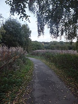
Afon Alun. The River Alyn in Alyn Waters Country Park / Parc Gwledig Dyfroedd Alun, close to Bradley Mill Bridge.


