Five Weirs Walk
![]()
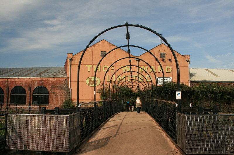
![]() This popular cycling and walking trail follows National Cycle Route 6 along the River Don from Sheffield City Centre to the Meadowhall Shopping centre. The route starts at Lady's Bridge in Sheffield City Centre, and heads over the Cobweb Bridge, past Bailey Bridge, and through Attercliffe to Meadhowhall. Along the way you will pass the five weirs from which the route takes its name. It's also a great way to see Sheffield's industrial past and present with lots of interesting riverside buidlings along the way. The path is flat and well maintained so it's a good cycle ride for families.
This popular cycling and walking trail follows National Cycle Route 6 along the River Don from Sheffield City Centre to the Meadowhall Shopping centre. The route starts at Lady's Bridge in Sheffield City Centre, and heads over the Cobweb Bridge, past Bailey Bridge, and through Attercliffe to Meadhowhall. Along the way you will pass the five weirs from which the route takes its name. It's also a great way to see Sheffield's industrial past and present with lots of interesting riverside buidlings along the way. The path is flat and well maintained so it's a good cycle ride for families.
At Meadowhall the route links with the Sheffield Canal. If you're on foot you could return along the canal (the towpath is a bit narrow for bikes). This would turn it into the 8-mile circular walk known as The Sheffield Blue Loop. You could also continue along the river to Rotherham along the Trans Pennine Trail. This takes you past the Blackburn Meadows Nature Reserve and into the city centre.
Five Weirs Walk Ordnance Survey Map  - view and print off detailed OS map
Five Weirs Walk Open Street Map  - view and print off detailed map
*New* - Walks and Cycle Routes Near Me Map - Waymarked Routes and Mountain Bike Trails>>
Five Weirs Walk OS Map  - Mobile GPS OS Map with Location tracking
Five Weirs Walk Open Street Map  - Mobile GPS Map with Location tracking
Pubs/Cafes
The large shopping complex of Meadowhall has a number of good options for refreshments at the end of your exercise.
Further Information and Other Local Ideas
The walk forms part of the Don Valley Way, a long distance route which can be followed all the way to Doncaster along the river. It runs for just under 30 miles with long sections also suitable for cyclists.
For more riverside walking in the city you could pick up the River Sheaf Walk at Granville Square, near the train station. The trail will take you to the attractive Millhouses Park and Beauchief, where you will find a medieval monastic house with parkland and ancient ruins.
Cycle Routes and Walking Routes Nearby
Photos
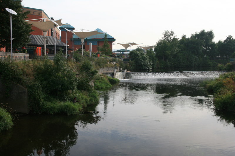
The end of the Five Weirs Walk. Meadowhall shopping centre built on the Hadfields steelworks site and their weir on the Don. Meadowhall is the largest shopping centre in Yorkshire and was constructed in the 1990s. Features include a wide range of retail shops, the Oasis dining area and a cinema. There are also two tram stops here.
The last of Sheffield's five weirs (or the first if you are starting here). Appropriately named Walk Mill weir,the city centre is now very near.
Salmon Pastures Local Nature Reserve. This footpath, part of the walk, runs between the Salmon Pastures Local Nature Reserve and the River Don. This area was once the slag heap of the Nunnery Coal Company's coke ovens. The acidic soil conditions have created an 'acid heath' environment which is maintained by periodically clearing invasive birch trees.
The reserve is managed by the Wildlife Trust for Sheffield and Rotherham. You can look out for birdlife including mistle thrush, bullfinch, goldfinch and long tailed tit. Kingfishers, little grebe, moorhens and mallards can also be spotted on the adjacent banks of the River Don. Other species include dragonflies, moths, butterflies and hoverfly.
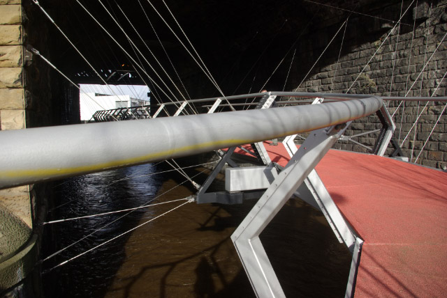
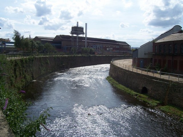
River Don at Attercliffe Road. The River Don looking towards the Midland Railway viaduct as seen from the 'Birdcage' on the trail.


