Loch Venachar and Loch Drunkie
![]()
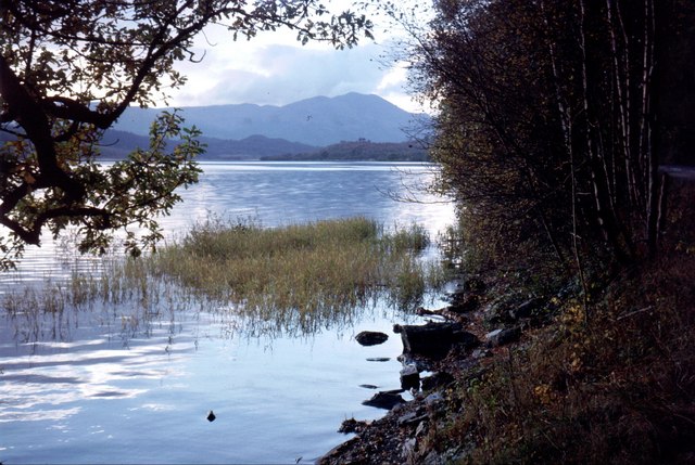
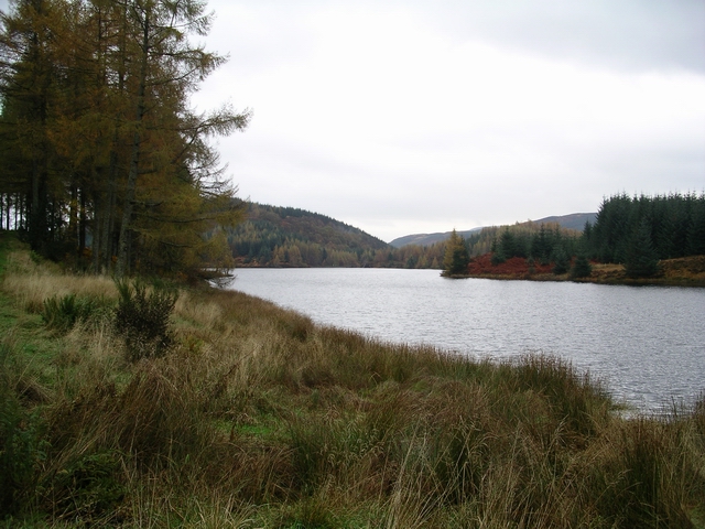
![]() This route in Queen Elizabeth Forest Park follows National Cycle Route 7 through the Achray Forest to two beautiful lochs in the Loch Lomond and the Trossachs National Park. The route starts in the village of Aberfoyle and follows good woodland paths to Lochan Reoidhte and then on to Loch Drunkie. You continue on more forest tracks before a long lochside stretch along Loch Venachar. There's great views across the water to the surrounding woodland, hills and mountains.
This route in Queen Elizabeth Forest Park follows National Cycle Route 7 through the Achray Forest to two beautiful lochs in the Loch Lomond and the Trossachs National Park. The route starts in the village of Aberfoyle and follows good woodland paths to Lochan Reoidhte and then on to Loch Drunkie. You continue on more forest tracks before a long lochside stretch along Loch Venachar. There's great views across the water to the surrounding woodland, hills and mountains.
If you'd like to explore the area further then you can head to the nearby Loch Katrine for more wonderful waterside cycling and walking trails. Loch Ard also has some great woodland cycle and walking trails while the fascinating Inchmahome Priory is only a few miles east of Aberfoyle.
Just to the north of Loch Venachar you can pick up a nice waymarked trail through Glen Finglas. Here you will find rivers, streams, waterfalls and the lovely Glen Finglas Reservoir.
The walk to Ben Venue also starts from near to Loch Achray, just to the west of Loch Venachar. It's a popular climb with great views back down to the loch.
Loch Venachar and Loch Drunkie Ordnance Survey Map  - view and print off detailed OS map
Loch Venachar and Loch Drunkie Open Street Map  - view and print off detailed map
*New* - Walks and Cycle Routes Near Me Map - Waymarked Routes and Mountain Bike Trails>>
Loch Venachar and Loch Drunkie OS Map  - Mobile GPS OS Map with Location tracking
Loch Venachar and Loch Drunkie Open Street Map  - Mobile GPS Map with Location tracking
Further Information and Other Local Ideas
Just to the west there's a nice circular trail to follow around the scenic Loch Chon. Just to the south east there's the tranquil Loch Rusky and the Torrie Forest to explore.
For more walking ideas in the area see the Loch Lomond and the Trossachs Walks and the Queen Elizabeth Forest Park pages.
Cycle Routes and Walking Routes Nearby
Photos
Burn near Loch Venachar. Taken from the dead-end road (apart from for cyclists and walkers) which leads to the south side of Loch Venachar.


