Agden Reservoir
![]()
![]() Enjoy a circular walk around this pretty reservoir on the edge of the Peak District near Sheffield. The walk starts at the village of Low Bradfield and follows a popular footpath around the water with some nice woodland trails to enjoy too. There's great views across the water to the surrounding countryside. The footpath runs for just over 2 miles on fairly flat paths so it's suitable for most abilities.
Enjoy a circular walk around this pretty reservoir on the edge of the Peak District near Sheffield. The walk starts at the village of Low Bradfield and follows a popular footpath around the water with some nice woodland trails to enjoy too. There's great views across the water to the surrounding countryside. The footpath runs for just over 2 miles on fairly flat paths so it's suitable for most abilities.
Agden is part of a series of reservoirs in the area. To extend your walk you could head to Damflask Reservoir where there is another nice circular footpath to try. Also nearby are Dale Dike Reservoir and Strines Reservoir.
Agden Reservoir Ordnance Survey Map  - view and print off detailed OS map
Agden Reservoir Open Street Map  - view and print off detailed map
Agden Reservoir OS Map  - Mobile GPS OS Map with Location tracking
Agden Reservoir Open Street Map  - Mobile GPS Map with Location tracking
Explore the Area with Google Street View 
Pubs/Cafes
There's a couple of very nice pubs located close to the reservoir, where you can go for some post walk refreshments. In High Bradfield the Old Horns Inn is a traditional English pub set in the incredible Bradfield countryside. Located in an enviable position with views over the Bradfield Moors and next to St. Nicholas' church, the Old Horns is established as one of the best pubs in England, having won a number of Thwaites Awards including ‘Pub of the Year’ and ‘Best Food.’ There's also a fantastic outdoor terrace and beer garden to relax in on warmer days. The pub is very walker and dog friendly and can be found just to the east of the reservoir on Towngate, with a postcode of S6 6LG for your sat navs.
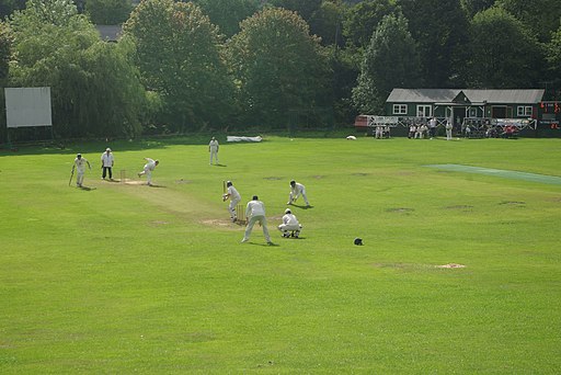
The Plough Inn is another fine option. There's an open fire, with a large beer garden and a great menu. It's located close to the village green, with a picturesque stream, picnic area and fantastic cricket pitch. You can find it at Low Bradfield with a postcode of S6 6HW.
Dog Walking
The reservoir and surrounding woods are a nice place for a dog walk. The Old Horns pub mentioned above is also dog friendly.
Further Information and Other Local Ideas
The circular Bradfield Walk starts from nearby High Bradfield and visits the reservoir before heading to Dale Dike, Strines and Damflask Reservoir. It's a nice way to take in all the reservoirs in the area and the pretty Bradfield Dale.
The Sheffield Country Walk also passes just to the south of the site. The long distance circular trail is a great way of seeing some of the scenic highlights surrounding the city.
For more walking ideas in the area see the Yorkshire Walks and Peak District Walks pages.


