Attenborough Nature Reserve
![]()
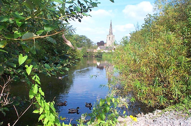
![]() Explore over 350 acres of lakes, wetland, woodland, grassland and scrub in this popular nature reserve near Nottingham. The reserve sits at the confluence of the River Erewash and the River Trent and contains several large lakes which attract a wide variety of birdlife. Look out for kingfisher, shoveler, diving ducks and herons.
Explore over 350 acres of lakes, wetland, woodland, grassland and scrub in this popular nature reserve near Nottingham. The reserve sits at the confluence of the River Erewash and the River Trent and contains several large lakes which attract a wide variety of birdlife. Look out for kingfisher, shoveler, diving ducks and herons.
It is located right next to Attenborough train station and on the Trent Valley Way walking route, so you have the option of continuing your walk on this riverside footpath.
The Erewash Valley Trail cycle and walk trail also passes through the reserve so you could pick this up.
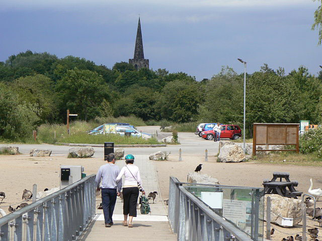
There is also an excellent nature centre with interactive educational displays and a cafe overlooking the lakes and islands of the reserve.
Postcode
NG9 6DY - Please note: Postcode may be approximate for some rural locationsPlease click here for more information
Attenborough Nature Reserve Ordnance Survey Map  - view and print off detailed OS map
Attenborough Nature Reserve Open Street Map  - view and print off detailed map
Attenborough Nature Reserve OS Map  - Mobile GPS OS Map with Location tracking
Attenborough Nature Reserve Open Street Map  - Mobile GPS Map with Location tracking
Pubs/Cafes
There's a gift shop and a good on site cafe where you can enjoy a range of refreshments after your exercise.
Dog Walking
The reserve is a lovely place for a dog walk so you will probably see other owners on your visit. It's best to keep them on leads because of the wildlife and the popularity of the site. Bins are dotted around the reserve.
Further Information and Other Local Ideas
At the eastern end of the reserve you can pick up the Beeston Canal at the pretty Beeston Lock. The towpath will take you east into Nottingham city centre.
For more walking ideas in the area see the Nottinghamshire Walks page.
Cycle Routes and Walking Routes Nearby
Photos
Attenborough Nature Reserve Visitor Centre. The centre was opened in 2005 by the reserve's namesake Sir David Attenborough.
Narrowboat on the Trent. The River Trent seen from the footpath alongside Attenborough Nature Reserve. Narrowboats and other craft make good use of the waterway.


