River Dearne Way
![]()
![]() Travel from Birds Edge to Mexborough along the River Dearne on this delightful riverside walk through Yorkshire.
Travel from Birds Edge to Mexborough along the River Dearne on this delightful riverside walk through Yorkshire.
The footpath begins at Birds Edge, near Holmfirth and heads east through Daton, Barnsley and Bolton Upon Dearne before coming to an end at Mexborough.
Walk highlights include the splendid Bretton Country Park near the start of the walk.
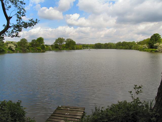
The country park includes 500 acres of lakes and parkland, housing various sculptures as well as being the home of several endangered species. The fascinating Yorkshire Sculpture Park also sits within the park and is well worth exploring. The only one of its kind, the park is an international centre for modern and contemporary art, which receives thousands of visitors each year. The walk also visits the lovely Dearne Valley park in Barnsley. This riverside park runs along the River Dearne for about two miles and boasts a lake and a variety of wildlife.
Dearne Way Ordnance Survey Map  - view and print off detailed OS map
Dearne Way Open Street Map  - view and print off detailed map
Dearne Way OS Map  - Mobile GPS OS Map with Location tracking
Dearne Way Open Street Map  - Mobile GPS Map with Location tracking
Pubs/Cafes
On the route you'll pass Old Moor where you'll find the Old Moor Tavern. It's a friendly pub with a good menu and an outdoor seating area. Right next to the pub you will also find the RSPB Dearne Valley. This 89-hectare wetlands nature reserve is a nice place to stroll around and look out for wildlife. You can find the pub on Everill Gate Lane with a postcode of S73 0YQ.
Further Information and Other Local Ideas
The route links with the Emley Circular Trail near the village of Emley. The 6 mile trail explores the area around the pretty village with some fine views of the Upper Dearne Valley.
Cycle Routes and Walking Routes Nearby
Photos
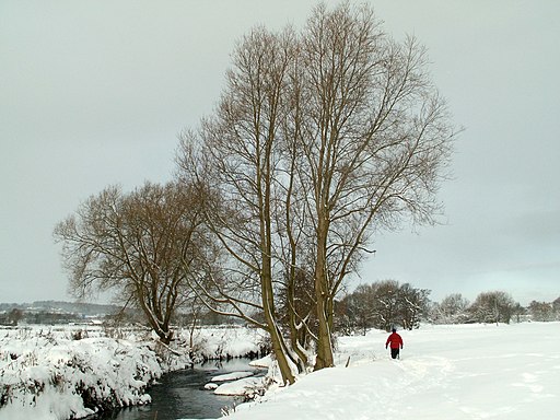
The Dearne Way path runs along the left hand side of the river. Water from old mine workings is discharged into the river just below the tree on the left hand. The water feeds through reedbeds which produce, clean, stream water quality at the inlet to the river.
Elevation Profile


