Ramsey Island Walk
![]()
![]() Explore this beautiful island and RSPB Nature Reserve on this circular walk off the Pembrokeshire Coast.
Explore this beautiful island and RSPB Nature Reserve on this circular walk off the Pembrokeshire Coast.
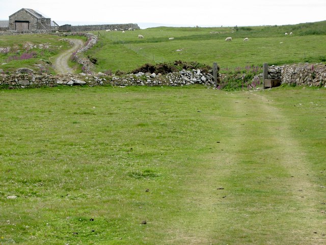
There are great walking trails running from the ferry landing taking you around the southern and middle section of the island. Ramsey is run by the RSPB so it's wonderful for bird watching with guillemots, razorbills, kttiwakes and fulmars to look out for. The island also has 120m high cliffs where you may see choughs and peregrines. In spring and summer Ramsey is covered in pretty flowers including bluebells, spring squills, pink thrift and purple heather.
To reach the island you can catch a boat from St Justinians from April (or easter if it comes sooner) to October. See the RSPB link below for details.
If you'd like to continue your walking in the area then you could try the Treginnis Peninsula walk.
Please click here for more information
Ramsey Island Ordnance Survey Map  - view and print off detailed OS map
Ramsey Island Open Street Map  - view and print off detailed map
Ramsey Island OS Map  - Mobile GPS OS Map with Location tracking
Ramsey Island Open Street Map  - Mobile GPS Map with Location tracking
Cycle Routes and Walking Routes Nearby
Photos
Dry Stone Sheep. You can see the mainland in the background, to the right is St Justinian Lifeboat Station (the ferry departure point for Ramsey Island).
View looking South from Carnysgubor. You can see Carnllundain in the distance, which is home to a trig point (136m).


