Rossendale Way Walk
![]()
![]() This circular walk takes you on a tour of the lovely Rossendale area of Lancashire and Greater Manchester.
This circular walk takes you on a tour of the lovely Rossendale area of Lancashire and Greater Manchester.
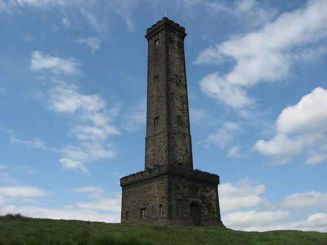
The path passes Haslingden, Rawtenstall, Whitworth, Stubbins and Healey with a series of attractive reservoirs including Cowpe and Calf Hey real highlights. Near Calf Hey you'll cross Holcombe Moor where you'll pass Musbury Tor and the Peel Tower. The distinctive monument is dedicated to Sir Robert Peel, the 19th century Prime Minister considered the father of modern British policing. It's a major local landmark and worth the climb to the top for the views over the area.
The walk also takes you through the delightful Healey Dell Nature Reserve with waterfalls and wildlife to enjoy here.
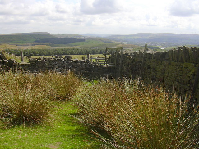
The views of the South Pennine hills are also splendid and make a fine backdrop to the walk.
Please click here for more information
Rossendale Way Ordnance Survey Map  - view and print off detailed OS map
Rossendale Way Open Street Map  - view and print off detailed map
Rossendale Way OS Map  - Mobile GPS OS Map with Location tracking
Rossendale Way Open Street Map  - Mobile GPS Map with Location tracking
Pubs/Cafes
A short distance south east of the Calf Hey group of reservoirs you'll find the Robin Hood Inn. The pub is popular with walkers who like to relax indoors by the cosy real fires. Outside there's a nice beer garden for warmer days. There's a good menu and the pub is also dog friendly. You can find itm slightly off the route at Helmshore near Haslingden. Address is 280 Holcombe Road with a postcode of BB4 4NP for your sat navs.
Near Peel Tower there's a couple of good pubs to stop at. The Shoulder of Mutton is located at the foot at the tower in Holcombe village. The old traditional inn dates from 1751 and includes two nice beer gardens for warmer days. You can find the inn, near the car park, on Lumb Carr Road at postcode BL8 4LZ. It's also very dog friendly with treats and water provided for your canine friend.
The Eagle and Child in Ramsbottom is another good option. It was named Great British Pub Awards ‘Pub of the Year’ in September 2017 and has a whole host of other awards to its name. It's a pub with a social conscience targeting young people who are marginalised and need extra help such as young offenders and disabled young people. They're rated as one of the best food pubs in Greater Manchester, having consistently featured in all the main national newspapers ‘Top 50 Sunday Lunch’ features. One of the main attractions is a stunning Orangery dining room, with fine views across the Irwell valley to Holcombe. The expansive garden area includes an outdoor kitchen and bar, polytunnel, veg beds, compost beds, fruit shrubs and ornamental beds and a mini orchard with chickens. It's a lovely setting and the ideal place to round off your walk. You can find the pub in the town on Whalley Rd with a postcode of BL0 0DL for your sat navs.
Further Information and Other Local Ideas
Just south of Ramsbottom you could take a small detour from the route to visit the lovely Redisher Wood. In the woods there are peaceful woodland trails and water features including the Holcombe Brook, a picturesque lake and photogenic waterfalls.
Just south of Rawtenstall look out for Waugh's Well on the moors above Edenfield. This monument was created to commemorate local poet Edwin Waugh who is known as "the Lancashire Burns". Near here there's also the Hail Storm Hill and Scout Moor Wind Farm Walk. This area is notable as the highest point of the Rossendale Valley and the location of the second largest onshore wind farm in England.
Cycle Routes and Walking Routes Nearby
Photos
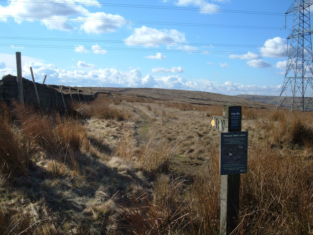
The Rossendale Way. Passing Calf Hey Reservoir which was built between 1854 and 1859 by the Bury and Radcliffe Waterworks.
This cross was restored by Alderman Samuel Compston in 1902. It's located just south of Burnley near Clowbridge Reservoir. One reason for crosses such as this was to help guide travellers across the moors.
Elevation Profile


