Skara Brae and the Bay of Skaill
![]()
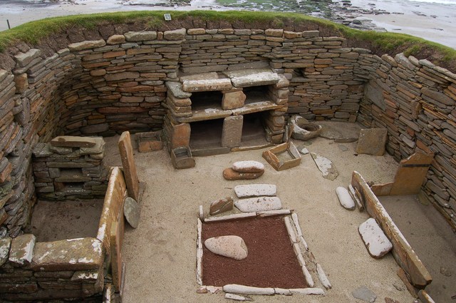
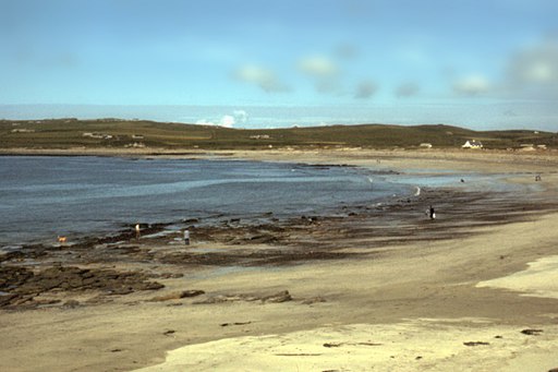
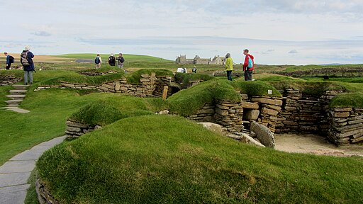
![]() Visit this fascinating Neolithic settlement located on Mainland in the Orkney Islands. The settlement is located on the beautiful Bay of Skaill and is designated as a UNESCO World Heritage Site. Skara Brae dates from 3180 BCE–2500 BCE and consists of eight clustered houses with stone bed enclosures, dressers and seats. The site is superbly preserved and referred to as the Scottish Pompeii. There are good facilities with a visitor centre and cafe.
Visit this fascinating Neolithic settlement located on Mainland in the Orkney Islands. The settlement is located on the beautiful Bay of Skaill and is designated as a UNESCO World Heritage Site. Skara Brae dates from 3180 BCE–2500 BCE and consists of eight clustered houses with stone bed enclosures, dressers and seats. The site is superbly preserved and referred to as the Scottish Pompeii. There are good facilities with a visitor centre and cafe.
The walk also takes in some wonderful coastinline. You could continue your walk along the coast towards Yesnaby and Neban Point.
Another must see site is the Ring of Brodgar. The notable ring of stones stands on a small isthmus between the Lochs of Stenness and Harray. It also includes the Standing Stones of Stenness and Maeshowe burial chamber.


