Brighton to Worthing
13 miles (21 km)
![]()
![]() This nice coastal route takes you Brighton to Worthing along National Cycle Network Route 2.
This nice coastal route takes you Brighton to Worthing along National Cycle Network Route 2.
It's a nice flat route, running for just under 13 miles along the Sussex coast. Most of the ride follows traffic free coastal paths with other sections along minor roads.
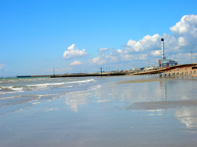
Starting by the pier in Brighton you head west through Hove, Portslade, Southwick and Shoreham before coming into Worthing. Highlights on the route include a series of nice beachs and views of Shoreham Harbour.
To continue your cycling in the Brighton area try the Brighton to Eastbourne Cycle Route or the Brighton to Newhaven Route.


