Cycle Superhighway 7
![]()
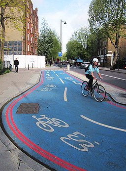
![]() The CS7 cycle route runs from Cannon Street in the City of London to Colliers Wood in South London.
The CS7 cycle route runs from Cannon Street in the City of London to Colliers Wood in South London.
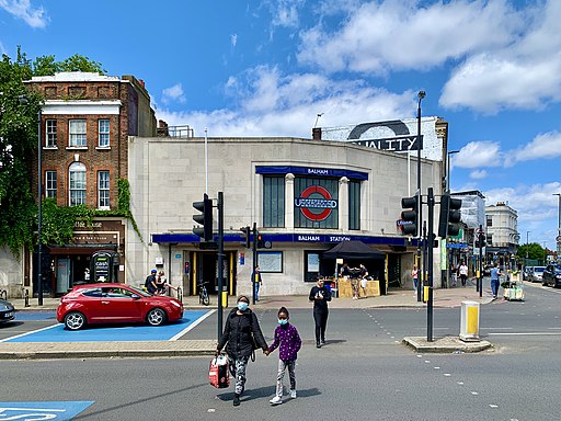
Starting from just west of Cannon Street train station you head south over the River Thames to Southwark Bridge, Elephant & Castle, Kennington, Oval, Stockwell, Clapham North, Clapham High Street, Clapham Common, Clapham South, Balham, Tooting Bec and Tooting Broadway before finishing at Colliers Wood.
On the way you will pass Clapham Common where you can enjoy some nice trails and a bite to eat at one of the commonside cafes or pubs.
The route finishes very close to Merton Abbey Mills where you'll find a pretty water mill and an arts and craft market. There's a riverside pub too which is a great place to stop for rest and refreshments.
Near here you can also link up with the Wandle Trail. The popular trail follows the River Wandle and National Cycle Route 20 along easy traffic free trails to Morden Hall Park and Croydon.


