National Cycle Route 28
![]()
![]() This signed Sustrans Cycle Route runs from Okehampton to Yealmpton with an extension to Plymouth planned in the near future.
This signed Sustrans Cycle Route runs from Okehampton to Yealmpton with an extension to Plymouth planned in the near future.
On the route you will pass through the settlements of South Zeal, Bovey Tracey, Moretonhampstead, Newton Abbot, Totnes and Salcombe. The route mainly follows quiet country lanes with fine views of the surrounding Devon countryside.
Route highlights include an off road waterside stretch along the Stover Canal and a coastal section along the beautiful Slapton Ley.
Please note as of time of writing the section between Newton Abbot and Totnes is under development. The route below follows quiet country lanes between the two settlements.
Cycle Routes on National Cycle Route 28
- Newton Abbot to Brixham - This route starts near Newton Abbot train station and heads south east along future National Cycle Route 28 towards Torquay
- Newton Abbot to Totnes - This route starts near Newton Abbot train station and heads south east along future National Cycle Route 28 towards Torquay
- Stover Canal - Follow the Stover Canal from Newton Abbot to Teigngrace on this short walk in South Devon
- Wray Valley Trail - This shared cycling and walking trail runs along a dismantled railway line from Moretonhampstead to Bovey Tracey in Devon.
- Stover Cycle Path - This off road cycle trail runs between Bovey Tracey and Newton Abbot on National Cycle Route 28
National Cycle Route 28 Ordnance Survey Map  - view and print off detailed OS map
National Cycle Route 28 Open Street Map  - view and print off detailed map
National Cycle Route 28 OS Map  - Mobile GPS OS Map with Location tracking
National Cycle Route 28 Open Street Map  - Mobile GPS Map with Location tracking
Cycle Routes and Walking Routes Nearby
Photos
Canal, Stover. The raised canalised channel by which Ventiford Brook leaves Stover Lake, and which is more or less an arm of the lake. This scene is close to the east end of the channel, where a weir takes the brook into Newpark Plantation; the lake is at the far end. Looking "upstream", although flow is imperceptible.
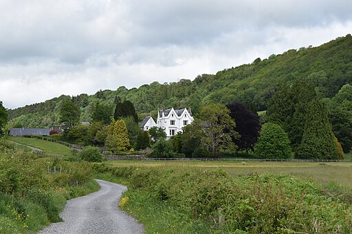
Wray Barton near Moretonhampstead in Devon. Visible in the foreground is the cycle path heading towards Moretonhampstead.
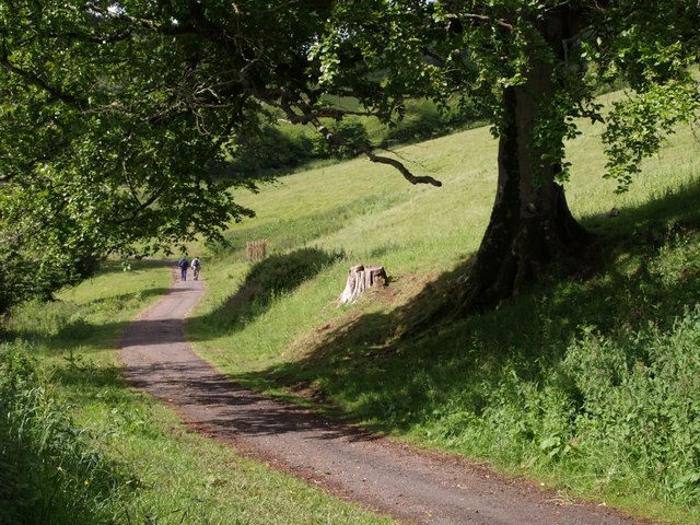
Sharpham Drive. A pair of walkers on the 3-kilometre carriage drive from Totnes to Sharpham Estate, followed here by National Cycle Network route 28, and offering superb views along the Dart valley. In fact the entrance to Sharpham House is now via Ashprington village. The estate is now run as a mindfulness retreat but is open to the public on certain days. Seen from under a prominent beech tree.


