National Cycle Route 81
![]()
![]() This is the complete route for Sustrans National Cycle Route 81. The Sustrans route runs from the English Midlands in Wolverhampton to Aberystwyth on the Welsh coast.
This is the complete route for Sustrans National Cycle Route 81. The Sustrans route runs from the English Midlands in Wolverhampton to Aberystwyth on the Welsh coast.
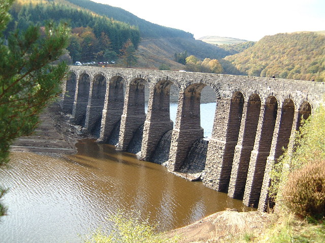
On the way you'll pass Shrewsbury, Telford, Llanidloes, Rhayader, Newtown and Welshpool. Highlights on the route include the wonderful Cambrian Mountains and the beautiful Elan Valley Reservoirs in Wales. There's also traffic free sections along the Montgomery Canal and the Ystwyth Trail towards the end of the route.
Scroll down to the bottom of the page for the complete route gpx file and some videos of the route.
Cycle Routes on National Cycle Route 81
- Wolverhampton to Telford - This route follows the trail through the West Midlands to Shropshire
- Shrewsbury to Telford - Follow National Cycle routes 81, 45 and 55 through Shropshire on this pleasant ride
- Shrewsbury to Welshpool - Follow the trail on this challenging route which takes you from Shropshire and over the border into Wales
- Welshpool to Newtown - Travel through Powys along the trail on this pretty ride
- Aberystwyth to Newtown - Follow the trail on this challenging ride
- Birmingham to Wolverhampton - This route follows National Cycle routes 5 and 81 through the West Midlands in to Staffordshire
- Shrewsbury to Telford - Follow National Cycle routes 81, 45 and 55 through Shropshire on this pleasant ride
National Cycle Route 81 Ordnance Survey Map  - view and print off detailed OS map
National Cycle Route 81 Open Street Map  - view and print off detailed map
National Cycle Route 81 OS Map  - Mobile GPS OS Map with Location tracking
National Cycle Route 81 Open Street Map  - Mobile GPS Map with Location tracking
Photos
Birmingham Canal. Picture from Spon Lane bride looking west. The canal is Thomas Telford's "new" Main Line of the Birmingham Canal. It was authorised in 1825 to relieve congestion on James Brindley's contour canal built in the 1770s mainly for coal transportation.The railway dates from the 1860s.
Wolverhampton Locks No 6. The incinerator is on the left, and Locks 7 and 8 are further down before Jordans Bridge. The upgrading of the towpath is notable; it is now a designated traffic free cycle route (81).


