Wonders of Wakefield
![]()
![]() This circular cycle route in Wakefield visits some of the local highlights using a mixture of traffic free paths and country lanes.
This circular cycle route in Wakefield visits some of the local highlights using a mixture of traffic free paths and country lanes.
It runs for about 21 miles on a series of fairly flat paths with some fine waterside sections along the area's numerous lakes.
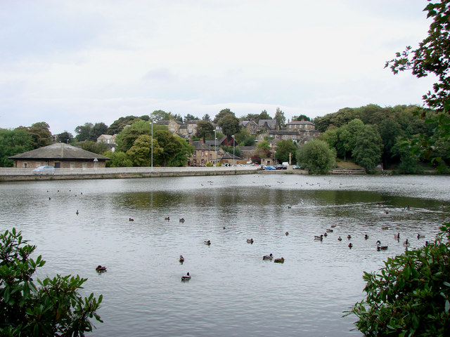
The route starts from the train station and visits Pugneys Country Park, Newmillerdam Country Park, Barnsley Canal, Wintersett Reservoir, Anglers Country Park, Heath Common and Nostell Priory.
Wonders of Wakefield Ordnance Survey Map  - view and print off detailed OS map
Wonders of Wakefield Open Street Map  - view and print off detailed map
Wonders of Wakefield OS Map  - Mobile GPS OS Map with Location tracking
Wonders of Wakefield Open Street Map  - Mobile GPS Map with Location tracking
Further Information and Other Local Ideas
For a longer ride try the Wakefield Wheel which follows a similar route but additionally visits Normanton, the Aire and Calder Canal, Stanley Ferry and Gawthorpe.
The Castleford Greenway will take you from Wakefield to Castleford along the old railway line and NCN Route 67. The surfaced path makes for a safe, easy cycle or walk in the area.
For more cycling ideas in the area see the Wakefield Cycle Routes page.

