Aberlady Bay to Gullane Walk
![]()
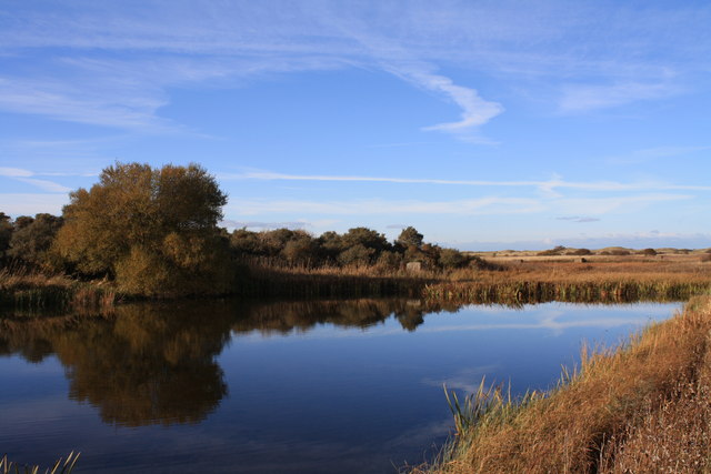
![]() This East Lothian coastal walk takes you from Aberlady to Gullane along the beautiful Aberlady Bay Nature Reserve. The reserve was the first Local Nature Reserve to be founded in Britain in 1952.
This East Lothian coastal walk takes you from Aberlady to Gullane along the beautiful Aberlady Bay Nature Reserve. The reserve was the first Local Nature Reserve to be founded in Britain in 1952.
The walk follows a section of the John Muir Way for a distance of about 5 miles. On the way you will pass Marl Loch and Gullane Sands before coming into Gullane.
Keep your eyes peeled for a variety of birdlife including Reed Bunting and Pink-footed Geese. The area includes Waterston House, the headquarters of the Scottish Ornithologists' Club (SOC). There is a huge ornithological library here, thought to be the largest in Scotland.
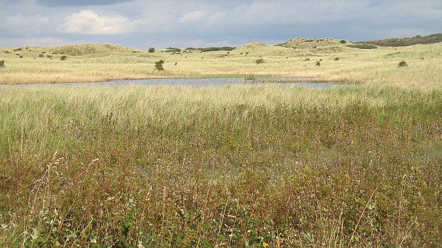
Habitats in the reserve include salt marsh and sand dune with lots of wildflowers and rare plants to see as well.
You can extend the walk on the Gullane to North Berwick Walk which continues east along the coast with views across the Firth of Forth to a series of islands, including the RSPB's Fidra Island.
Postcode
EH32 0QB - Please note: Postcode may be approximate for some rural locationsAberlady Bay to Gullane Walk Ordnance Survey Map  - view and print off detailed OS map
Aberlady Bay to Gullane Walk Open Street Map  - view and print off detailed map
Aberlady Bay to Gullane Walk OS Map  - Mobile GPS OS Map with Location tracking
Aberlady Bay to Gullane Walk Open Street Map  - Mobile GPS Map with Location tracking
Walks near Aberlady
- John Muir Way - Follow the John Muir Way along the East Lothian Coast on this walk named after the father of the environment movement, John Muir
- Gullane to North Berwick Walk - This circular walk takes you from Gullane to North Berwick using the coastal path on the outward journey and a section of the John Muir Way on the return leg
- Gosford Estate - The Gosford Estate is located near to Longniddry in East Lothian
- Haddington to Longniddry Railway Walk - This walk or cycle takes you along a dismantled railway line and National Cycle Route 76 between the East Lothian towns of Haddington and Longniddry
- Whiteadder Reservoir - This walk visits the Whiteadder Reservoir in the Lammermuir Hills of East Lothian.
- St Abbs - This walk in the Scottish Borders follows a section of the Berwickshire Coastal Path to St Abbs Head and lighthouse
- Coldingham Bay to St Abbs and Coldingham Loch Walk - This circular walk visits Coldingham Bay, St Abbs Head and Coldingham Loch on the Berwickshire Coast
Further Information and Other Local Ideas
To the south west there's the historic Gosford Estate where there's some nice trails to follow around the grounds of grand mansion.
Photos
Aberlady Bay Footbridge. In the Middle Ages, Aberlady was an important harbour for fishing, sealing, and whaling.
Aberlady Bay. Looking across the Peffer Burn at low tide. The bay between Aberlady and Gullane, holds the wrecks of eight 19th or early 20th century fishing vessels, which have been designated as maritime scheduled ancient monuments.
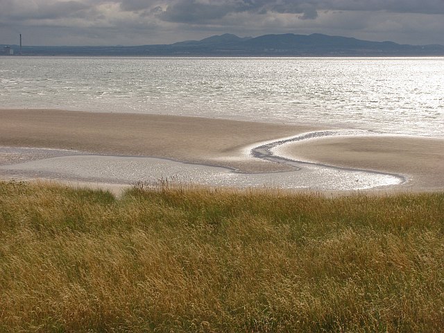
Beach, Gullane Point. Gullane is the home of Muirfield which has hosted The Open Championship on numerous occasions
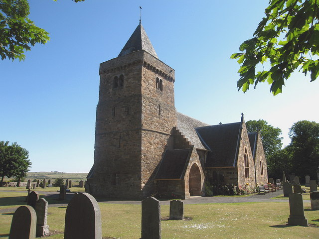
Aberlady Parish Church, with Doocot in Tower. A 15th century square, 3-stage tower at the west adjoining a nave rebuilt in 1773. The tower has a slated pyramidal spire behind a corbelled parapet. Arrow slit openings to 1st and 2nd stages and the second storey, above the string course was later adapted as a dovecot, with flight holes in the slit window on the south side.


