Abinger Hatch Circular Walk
![]()
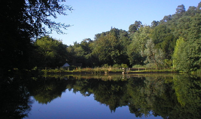
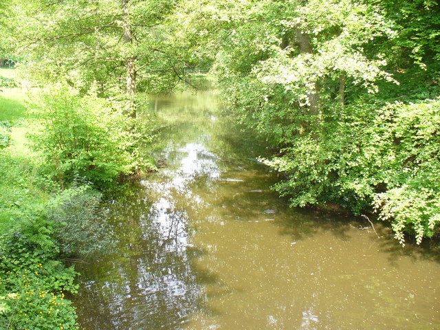
![]() Enjoy a walk across Abinger and Wotton Commons before a climb to Leith Hill on this circular walk in the Mole Valley. There's miles of nice woodland trails, ponds, streams and great views from the many viewpoints on the expansive common. It's quite a challenging walk with several hill climbs so a good level of fitness is required.
Enjoy a walk across Abinger and Wotton Commons before a climb to Leith Hill on this circular walk in the Mole Valley. There's miles of nice woodland trails, ponds, streams and great views from the many viewpoints on the expansive common. It's quite a challenging walk with several hill climbs so a good level of fitness is required.
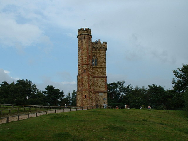
The walk starts at the Abinger Hatch pub to the north west of the common. You can also start at the Friday Street car park close to the pretty Mill Pond. From here you can pick up the trails heading south across Abinger Bottom to Wotton Common. You then climb to the highest point in the South East on Leith Hill where you will find an 18th century Gothic tower, with panoramic views northwards to London and south to the English Channel.
After taking in the views the route descends to Duke's Warren and Whiteberry Hill, before crossing Broadmoor and returning to the car park. After your walk you can enjoy refreshments at the Stephan Langton Inn on Friday Street. The country pub is located just south of the mill pond and serves Modern British cuisine and craft ales.
The Greensand Way long distance trail runs through the southern end of the common so you can pick this up to extend your walking in the area. Heading west will take you to Hurt Wood and Winterfold Forest in Peaslake. Here you'll find miles of great mountain bike trails and footpaths.
Also nearby is the climb to Holmbury Hill where there are more wonderful views over the Surrey Hills to enjoy.
The sister site of Abinger Roughs is located about a mile or so to the north west. There's nice woodland trails with lots of gorgeous rhododendrons in the spring months.
Postcode
RH5 6HZ - Please note: Postcode may be approximate for some rural locationsAbinger Common Ordnance Survey Map  - view and print off detailed OS map
Abinger Common Open Street Map  - view and print off detailed map
*New* - Walks and Cycle Routes Near Me Map - Waymarked Routes and Mountain Bike Trails>>
Abinger Common OS Map  - Mobile GPS OS Map with Location tracking
Abinger Common Open Street Map  - Mobile GPS Map with Location tracking
Pubs/Cafes
At the start/end of the walk there's the The Abinger Hatch. There's a cosy interior with two log-burning fires for colder weather here. During the warmer months you can enjoy the extensive garden with its new patio seating area. They serve a great Sunday roast and also have a fine selection of drinks. You can find them at postcode RH5 6HZ for your sat navs.
Head into the nearby village of Holmbury St Mary after your walk and you can enjoy refreshments in the Royal Oak. There's a very nice, large outdoor seating area to relax in during the summer months here. It's a quintessentially British country pub; with open fires, home-cooked food, on site brewery and a warm welcome. You can find it at Felday Glade with postcode RH5 6PF for your sat navs.
There's also the King's Head on Pitland Street (postcode: RH5 6NP). Here you'll find log fires, pub grub, real ales and another nice garden to sit out in.
Dog Walking
Just a couple of miles to the east is the National Trust's Holmwood Common. There's 650 acres of ancient woodland to explore here.
Further Information and Other Local Ideas
The circular Friday Street Walk starts from the same car park. It explores the 17th century Wotton House Estate before heading to the Tillingbourne Waterfall on the River Tillingbourne.


