Almondell and Calderwood Country Park
![]()
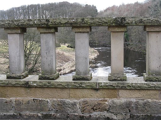
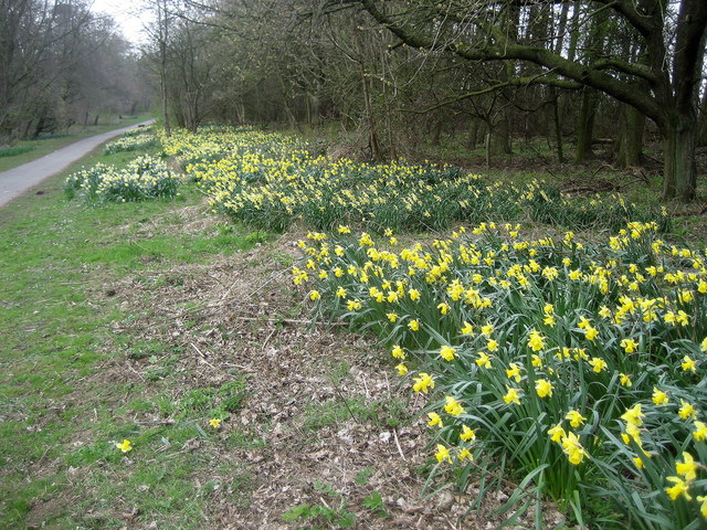
![]() Explore 220 acres of country park near Broxburn on this easy cycle or walk. In the park you will find peaceful woodland and a lovely waterside trail running along the River Almond. Almondell is a haven for wildlife - look out for Roe deer, fox, heron, otters and woodpeckers as you make your way through the park.
Explore 220 acres of country park near Broxburn on this easy cycle or walk. In the park you will find peaceful woodland and a lovely waterside trail running along the River Almond. Almondell is a haven for wildlife - look out for Roe deer, fox, heron, otters and woodpeckers as you make your way through the park.
Also of interest is the excellent Visitor Centre with displays, a gallery, information and a conservatory with a cafe.
If you would like to continue your outing you could head north to the Union Canal. You could follow the towpath east into Edinburgh on foot or bike.
Postcode
EH52 5PE - Please note: Postcode may be approximate for some rural locationsAlmondell and Calderwood Country Park Ordnance Survey Map  - view and print off detailed OS map
Almondell and Calderwood Country Park Open Street Map  - view and print off detailed map
Almondell and Calderwood Country Park OS Map  - Mobile GPS OS Map with Location tracking
Almondell and Calderwood Country Park Open Street Map  - Mobile GPS Map with Location tracking
Pubs/Cafes
There is a cafe/coffee stand near the visitor centre and a number of picnic tables at the site too.
Dog Walking
The parkland and woodland are ideal for dog walking so you're bound to pass other owners with their pets on your visit.
Further Information and Other Local Ideas
Head a few miles south west of the park and you can visit Cobbinshaw Reservoir where there are some nice waterside trails to try. Eliburn Reservoir can also be found nearby on the western side of Livingston.
To the south there's Harperrig Reservoir. Here you'll find some interesting wildlife including various wildfowl and the Eurasian otter. The site also includes views of the Water of Leith and the 15th century Cairns Castle ruins. At the eastern end of the lake you can pick up the long distance Cross Borders Drove Road. It runs south through the Pentland Hills to West Linton, Peebles, Traquair and then on to Hawick via the Yarrow Valley.
For cyclists Sustrans National Cycle Route 75 passes through the park. This signed route takes you from Edinburgh to Glasgow and then to Portavadie on the shores of Loch Fyne on the west coast of the Cowal peninsula in Argyll and Bute.
Cycle Routes and Walking Routes Nearby
Photos
Almondell & Country Park Visitor Centre From the garden, with three historic stones from Kirhill House incorporated in the wall to the left.
The feeder for the Union Canal crossing the R. Almond just downsteam from the weir where the feed is taken from the river. The National Cycleway Network path no. 75 crosses the aqueduct. The water starts its journey at Cobbinshaw Reservoir and reaches the Almond via the Murieston and Linhouse Waters. It enters the canal at the viaduct which crosses the Almond near Clifton Hall


