Amble to Warkworth Walk
![]()
![]() This walk explores the Northumberland Coast around the town of Amble before following the River Coquet to nearby Warkworth. The walk is quite easy, running for about 3 miles on flat paths.
This walk explores the Northumberland Coast around the town of Amble before following the River Coquet to nearby Warkworth. The walk is quite easy, running for about 3 miles on flat paths.
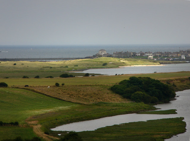
The route starts from the car park on the coast at Amble Links, just to the east of the town. From here you can pick up the Northumberland Coast Path and follow it north towards the harbour with views of Coquet Island as you go. The island is home to several varieties of nesting sea birds, including puffins and the rare Roseate tern. Access is restricted but you can catch boat trips around the site.
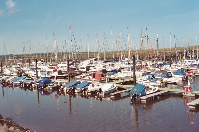
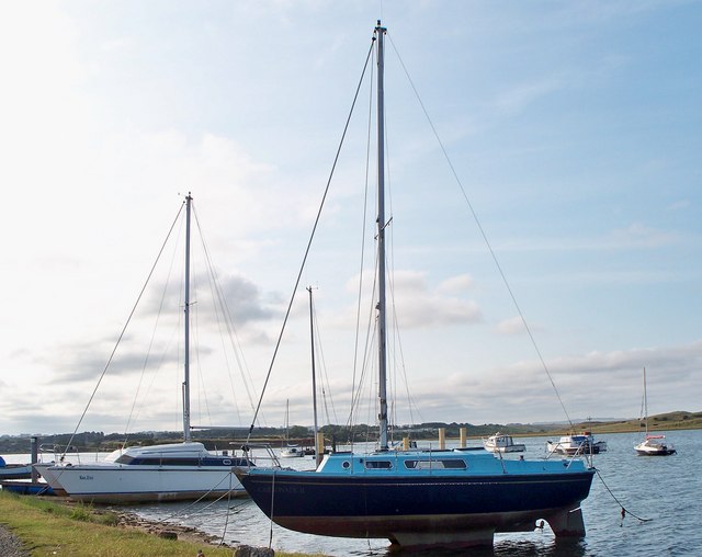
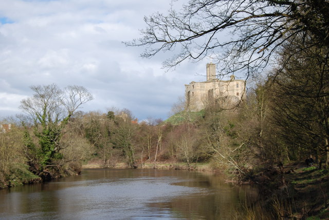
At the harbour you come to the mouth of the River Coquet and the north and south piers. Follow paths around the marina which will lead you to the main road. A shared cycle and walking path runs alongside the road and the river leading you into Warkworth. Here you can enjoy riverside paths taking you past the medieval bridge to the fine ruined castle.
In Warkworth you can pick up the St Oswald's Way and follow it along the river to Felton.
You could also continue along the coast path on the Warkworth to Alnmouth Walk.
Just to the south of Amble you will find Druridge Bay Country Park. Here you will find three miles of beach and sand dunes, a large freshwater lake, peaceful woodland and meadows.
Amble to Warkworth Walk Ordnance Survey Map  - view and print off detailed OS map
Amble to Warkworth Walk Open Street Map  - view and print off detailed map
Amble to Warkworth Walk OS Map  - Mobile GPS OS Map with Location tracking
Amble to Warkworth Walk Open Street Map  - Mobile GPS Map with Location tracking
Walks near Amble
- St Oswald's Way - Explore the coastline, islands, river valleys, hills, villages, forests and farmland of Northumberland and follow in the footstepts of St
- Warkworth to Alnmouth - This is another splendid stretch of the Northumberland coast, with a historic castle, beautiful beaches, interesting villages and lovely bays to enjoy.
- Druridge Bay Country Park - This beautiful country park on the Northumberland coast consists of three miles of beach and sand dunes, a large freshwater lake, peaceful woodland and meadows
- Warkworth River Walk - Enjoy a nice stroll along the River Coquet on this easy circular walk in the popular village of Warkworth.
The walk starts from the ancient bridge of two arches which crosses the river, just north of the castle - Felton - This picturesque Northumberland village has some lovely trails along the River Coquet in Felton Park.
- Druridge Bay to Amble Walk - This walk takes you along the lovely Northumberland coast from Druridge Bay to Amble.
Further Information and Other Local Ideas
The Felton Walk continues along the river to visit the historic Brinkburn Priory. The 12th century Augustinian Priory church is run by English and Heritage and is a bit of hidden gem of the area. The restored church is one of the best examples of early Gothic architecture in Northumberland.
For more walking ideas in the area see the Northumberland Walks page.


