Badger Wood Walk
![]()
![]() This walk explores Badger Wood, on the edge of Coton Park in the National Forest, South Derbyshire.
This walk explores Badger Wood, on the edge of Coton Park in the National Forest, South Derbyshire.
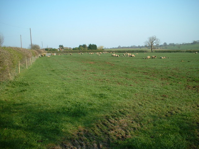
The wood offers a unique blend of natural and industrial vistas, with views extending towards the industrial areas of Burton and Swadlincote as well as the more pastoral Mease Lowlands. This woodland is characterised by a diverse planting scheme, incorporating both broadleaf and coniferous trees, and is bordered by native shrubs. An extensive network of rides and glades enhances the accessibility and enjoyment of the area.
Four wetland habitats have been established within Badger Wood, serving as crucial environments for dragonflies and other insect species. These wetlands contribute to the biodiversity and ecological richness of the woodland.
Efforts to support local wildlife are evident in the installation of bat and bird boxes on the mature trees, promoting roosting and nesting. Additionally, the footpath along the southern boundary of Badger Wood has been upgraded to a bridleway, facilitating a circular ride through the new woodland and improving the overall accessibility for visitors on horseback. This enhancement not only supports recreational activities but also encourages greater exploration and appreciation of the woodland environment.
To continue your walking in the area head west to visit the Rosliston Forestry Centre. The area includes woodland trails, meadows, ponds, lots of butterflies and some interesting sculptures. There's also cycle trails and the epic National Forest Way to pick up in the park.


