Rosliston Forestry Centre and Walking Map
![]()
![]() This walk explores the Rosliston Forestry Centre and the village of Rosliston in the National Forest, South Derbyshire.
This walk explores the Rosliston Forestry Centre and the village of Rosliston in the National Forest, South Derbyshire.
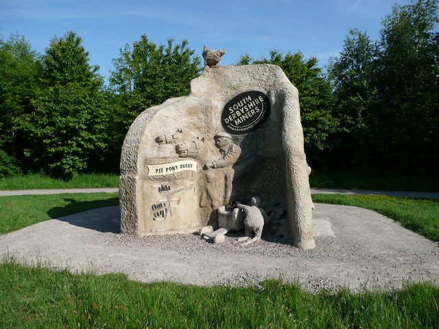
The area includes woodland trails, meadows, ponds, lots of butterflies and some interesting sculptures. There's also cycle trails and the epic National Forest Way to pick up in the park.
The site includes a fine visitor centre where you can hire bikes and learn about the different types of bird you can spot from the bird hides. There's also a car park and cafe.
Just to the east you can continue your walking around Badger Wood where there are more pleasant trails to try.
Postcode
DE12 8JX - Please note: Postcode may be approximate for some rural locationsRosliston Forestry Centre Ordnance Survey Map  - view and print off detailed OS map
Rosliston Forestry Centre Open Street Map  - view and print off detailed map
Rosliston Forestry Centre OS Map  - Mobile GPS OS Map with Location tracking
Rosliston Forestry Centre Open Street Map  - Mobile GPS Map with Location tracking
Explore the Area with Google Street View 
Pubs/Cafes
At the on site Hub Café you can enjoy a range of refreshments after your exercise.
Dog Walking
The woodland trails are great for dog walking so you'll probably meet other owners on your visit.
Further Information and Other Local Ideas
Just to the west you could visit the National Memorial Arboretum at Alrewas. Here you will find 30,000 trees in a 150 acre Arboretum, forming a unique living tribute to those who have served and continue to serve our country.
Cycle Routes and Walking Routes Nearby
Photos
Rosliston Forestry Centre "Falcon". Falcon climbing frame at Rosliston which is the oldest of the Forestry Commission's community woodlands within The National Forest. 120,000 trees were planted between 1994 and 1996 creating areas of broadleaf wood (oak, ash, birch) pine wood and larch wood. Existing mature woodland is found at Fox Covert which gives a clue as to how the rest of the wood may look in the future. The site already boasts many facilities including a visitor centre, Falcon restaurant, indoor play area, craft centre, waymarked walks and cycle routes, outdoor play area including crazy golf and basketball court, trim trail, sensory garden, two memorial woods, BBQ site and observation hides and the magnificent Rolls Royce Greenheart lake on which fishing is permitted.
Greenheart Lake Rosliston Forestry Centre - an artificial lake with a wooden bridge - feed from a dammed stream.


