Balmedie Country Park
![]()
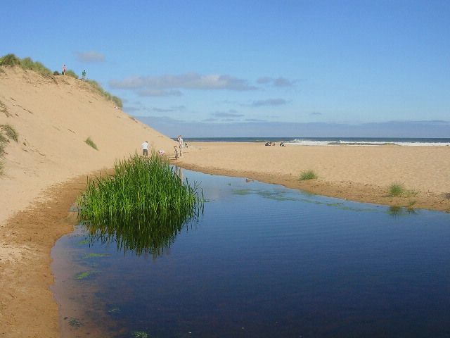
![]() Enjoy some simply stunning coastal scenery in this country park on the East coast of Scotland. There are boardwalks taking you over the sand and through the extensive dune system. The beach has won seaside awards in 2006 and 2007.
Enjoy some simply stunning coastal scenery in this country park on the East coast of Scotland. There are boardwalks taking you over the sand and through the extensive dune system. The beach has won seaside awards in 2006 and 2007.
Facilities include a good sized car park and picnic benches.
Balmedie is about 6 miles north of Aberdeen so you could continue your walk along the beach to the city if you have time.
To continue your walking in the area head west to the nearby Kirkhill Forest. There's miles of good waymarked trails with hill climbs and great viewpoints here.
Postcode
AB23 8XG - Please note: Postcode may be approximate for some rural locationsBalmedie Country Park Ordnance Survey Map  - view and print off detailed OS map
Balmedie Country Park Open Street Map  - view and print off detailed map
Balmedie Country Park OS Map  - Mobile GPS OS Map with Location tracking
Balmedie Country Park Open Street Map  - Mobile GPS Map with Location tracking
Cycle Routes and Walking Routes Nearby
Photos
Access to Balmedie Beach. This access route makes it possible to get a wheelchair to the beach. There is tarmac to this point, then a boardwalk, which looks as if it is made of recycled material, all the way to the top of the beach, where there is a board platform with a picnic table.


