Barcombe Mills
![]()
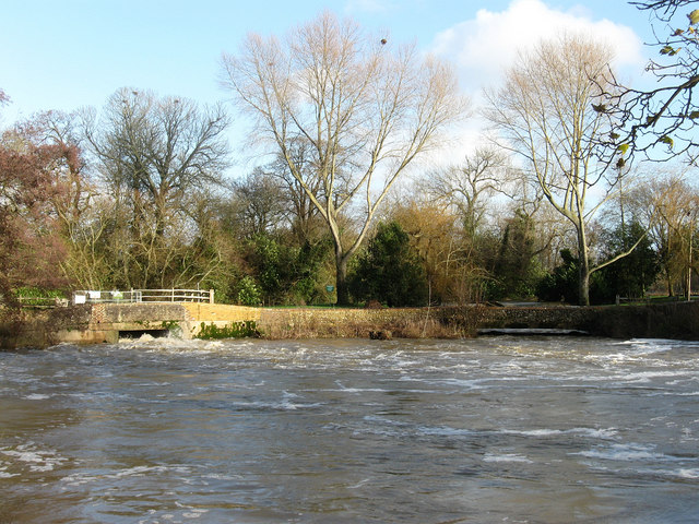
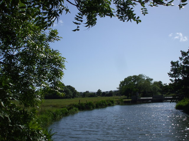
![]() This delightful area of East Sussex has riverside trails, a small reservoir and lovely countryside views. It's located just to the south east of the village of Barcombe Cross in the Lewes District. You could follow footpaths from the village to the site but this walk starts from the Barcombe Mills car park, just to the south of the reservoir. From here you can easily pick up the trails heading between the River Ouse and Barcombe Reservoir. It's a lovely path, with a number of weirs, little wooden bridges, attractive waterside woodland and nice countryside views. Keep following the river north until you reach the Anchor Inn. The pub is a great place to stop for refreshments with its riverside beer garden and picturesque setting. You can also hire boats from this location.
This delightful area of East Sussex has riverside trails, a small reservoir and lovely countryside views. It's located just to the south east of the village of Barcombe Cross in the Lewes District. You could follow footpaths from the village to the site but this walk starts from the Barcombe Mills car park, just to the south of the reservoir. From here you can easily pick up the trails heading between the River Ouse and Barcombe Reservoir. It's a lovely path, with a number of weirs, little wooden bridges, attractive waterside woodland and nice countryside views. Keep following the river north until you reach the Anchor Inn. The pub is a great place to stop for refreshments with its riverside beer garden and picturesque setting. You can also hire boats from this location.
After enjoying a drink in the pub the walk returns on footpaths through the countryside on the western side of the river.
The area is also a nature reserve so look out for wildlife including moorhen, mallard, mute swan, greylag goose, rabbit, barnacle goose, Canada goose, robin, blue tit, herring gull and grey wagtail.
To extend the walk you can continue north along the Sussex Ouse Valley Way to the little village of Isfield. Here you can pick up the splendid Lavender Line heritage railway from Isfield Station.
If you follow the river path south it will take you all the way into Lewes where you can visit the South Downs and Southerham Nature Reserve and enjoy a climb to Mount Caburn. There's great views and lots of flora and fauna to enjoy here.
Just to the west of this walk there is a permissive bridleway along the disused trackbed of the railway to Anchor Lane. This is a good options for cyclists wishing to explore the area.
Postcode
BN8 5BX - Please note: Postcode may be approximate for some rural locationsBarcombe Mills Ordnance Survey Map  - view and print off detailed OS map
Barcombe Mills Open Street Map  - view and print off detailed map
Barcombe Mills OS Map  - Mobile GPS OS Map with Location tracking
Barcombe Mills Open Street Map  - Mobile GPS Map with Location tracking
Further Information and Other Local Ideas
Just a couple of miles to the south of Lewes you'll find the interesting village of Iford. The historic settlement includes 18 listed buildings, a 12th century church and a sundial marking the Greenwich meridian which runs through the village. From here you can enjoy a walk up to the viewpoint at Iford Hill on a particularly lovely section of the South Downs. On the Iford walk there's also Rodmell where you can visit the National Trust's Monk's House. The 16th-century weatherboarded cottage was once the home of author Virginia Woolfe and her husband. Next to the village there's also the Castle Hill National Nature Reserve. The significant site includes chalk grassland with ancient settlements and lots of interesting flora and fauna to see.


