Iford River Walk
![]()
![]() A circular walk from the Sussex village of Iford, visiting the River Great Ouse and the neighbouring villages of Southease and Rodmell.
A circular walk from the Sussex village of Iford, visiting the River Great Ouse and the neighbouring villages of Southease and Rodmell.
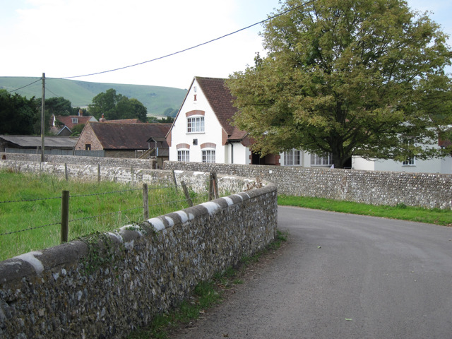
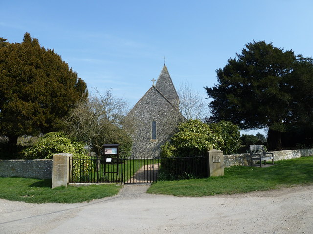
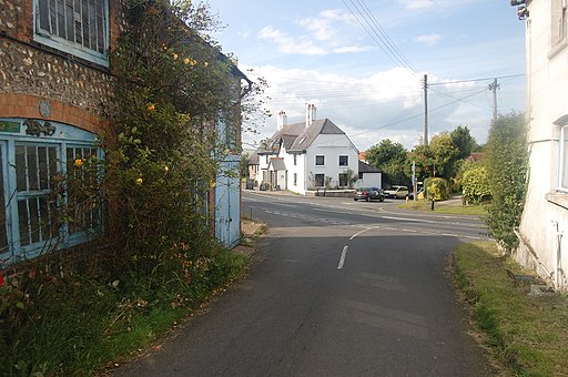
The village sits just a couple of miles south of Lewes on slopes of the South Downs in the valley of the River Ouse. The historic settlement includes 18 listed buildings, a 12th century church and a sundial marking the Greenwich meridian which runs through the village.
This walk also makes use of a section of the South Downs Way National Trail which will take you up to Iford Hill to the west of the village. On this elevated section you can enjoy some splendid views over the surrounding area.
In Rodmell you will pass the National Trust's Monk's House. The 16th-century weatherboarded cottage was once the home of author Virginia Woolfe and her husband, the political activist, journalist and editor Leonard Woolf. Here they received many visitors from the famous Bloomsbury Group, including T. S. Eliot, E. M. Forster, and Roger Fry.
Iford Ordnance Survey Map  - view and print off detailed OS map
Iford Open Street Map  - view and print off detailed map
Iford OS Map  - Mobile GPS OS Map with Location tracking
Iford Open Street Map  - Mobile GPS Map with Location tracking
Further Information and Other Local Ideas
The Falmer to Lewes Walk starts from nearby Falmer and will take you up to the lovely ridge top walk at Blackcap. There's some fascinating ancient sites, pretty wildflowers, a variety of butterflies and tremendous views over the Weald from here. Falmer itself is also very attractive with its 17th century church, large pond and green which is ideal for picnics.
Just to the west is the Castle Hill National Nature Reserve. The significant site includes chalk grassland with ancient settlements and lots of interesting flora and fauna to see.
Cycle Routes and Walking Routes Nearby
Photos
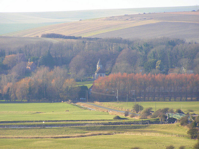
Southease from Itford Hill. This is taken from the South Downs way under Itford Hill. The River Ouse is in the foreground with Southease Bridge on the right. The church unusually has no dedication but is of Saxon origin. Mill Hill dominates the landscape behind the village.
