Barnoldby le Beck
![]()
![]() This little Lincolnshire village near Grimsby has some pleasant trails to follow through the local woods and countrysisw of the Lincolnshire Wolds. The pretty settlement also includes a fine local pub and a noteworthy 13th century church containing features from the 11th century.
This little Lincolnshire village near Grimsby has some pleasant trails to follow through the local woods and countrysisw of the Lincolnshire Wolds. The pretty settlement also includes a fine local pub and a noteworthy 13th century church containing features from the 11th century.
This circular walk from the village explores the countryside to the north, visiting Mount Pleasant West and Bradley Woods. It uses a section of the Wanderlust Way, a 20 mile circular walk which explores the surrounding area and includes views of the Humber Estuary.
The walk starts in the village and follows footpaths north to the attractive woodland and lake at Mount Pleasant West.
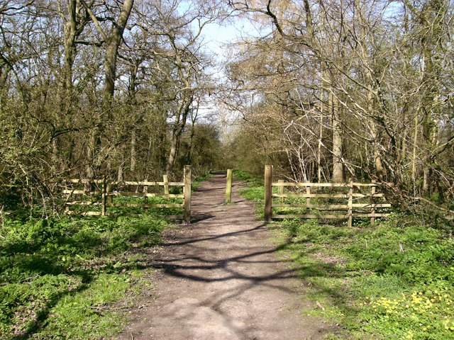
You continue north to Manor Top Farm before heading east to visit Bradley Wood. There's some peaceful woodland trails and lots of birdlife to look out for here.
At the woods you can pick up a bridle track and follow it south back to the village.
Postcode
DN370BG - Please note: Postcode may be approximate for some rural locationsBarnoldby le Beck Ordnance Survey Map  - view and print off detailed OS map
Barnoldby le Beck Open Street Map  - view and print off detailed map
Barnoldby le Beck OS Map  - Mobile GPS OS Map with Location tracking
Barnoldby le Beck Open Street Map  - Mobile GPS Map with Location tracking
Walks near Barnoldby le Beck
- Grimsby - This Lincolnshire Port town has some nice trails to follow through the town and around the docks
- Cleethorpes Country Park - This 160 acre park has a 7 acre lake with footpaths and a cycle path running through it.
- Cleethorpes to Tetney Lock Walk - This circular walk takes you from the outskirts of Cleethorpes to Tetney Lock on the Louth Canal.
- Weelsby Woods - This country park has mature trees, woodland, and large grassy areas to explore
- Hubbard's Hills - This area of natural beauty in Louth is a lovely place for an afternoon stroll
- Louth Canal - Enjoy a waterside walk along the Louth Canal from Louth to Tetney Marshes
- Great Limber - This historic Lincolnshire based village is surrounded by some attractive countryside and woodland
- Wanderlust Way - Follow the Wanderlust Way through the Lincolnshire Wolds AONB and enjoy splendid views of the Humber Estuary on this circular walk
- Caistor - This circular walk from the Roman Town of Caistor takes you through the countryside to the neighbouring villages of Nettleton and Rothwell
- Covenham Reservoir - Enjoy a circular walk around this pretty reservoir and along the Louth Canal on this waterside walk in Lincolnshire.
- Nettleton - This Lincolnshire based town is located just south of Caistor in the West Lindsey District of the country.
Pubs/Cafes
Back in the village there's the Ship Inn for some rest and refreshment. They serve award winning dishes and have a pleasant garden area to relax in on warmer days. You can find them on the Main Road at a postcode of DN370BG for your sat navs.
Dog Walking
The country and woodland trails on the route make for a fine dog walk. The Ship mentioned above is also dog friendly.
Further Information and Other Local Ideas
For an alternative circular walk which starts from the village and visits Hatcliffe, Beelsby and Laceby see the video below.
Just to the west there's some more nice trails around Weelsby Woods on the edge of Grimsby.
For more walking ideas in the area see the Lincolnshire Walks page.
Photos
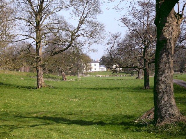
Manor House, Barnoldby-le-Beck. As seen from Barton Street (A18), this large house, the grounds of which contain a large garden pond which could be classed as a lake, seems to have been part of a large park complex that once existed in this area.
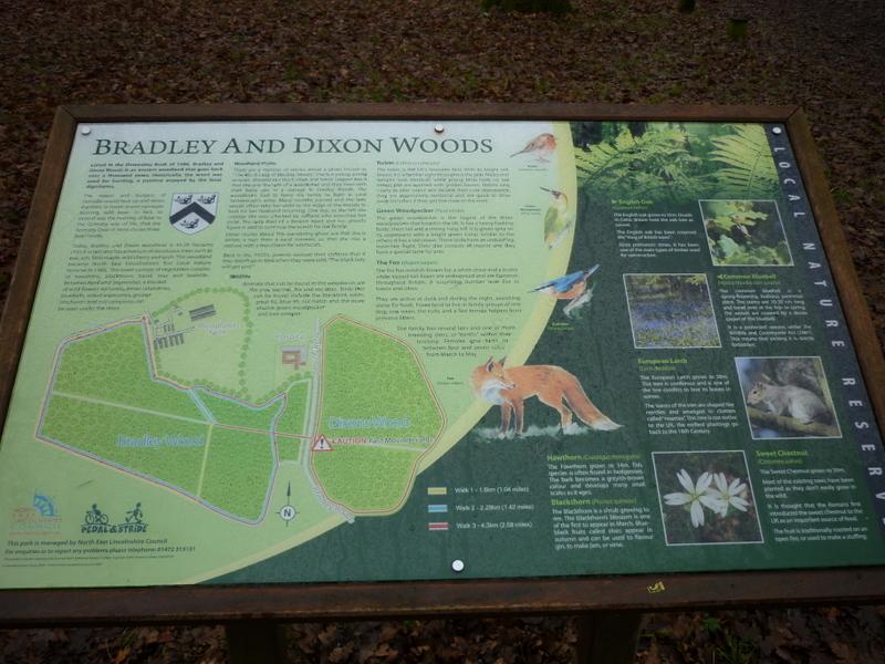
Bradley Woods. Looking north west from the car park and children's play area roughly in the centre of the wood. Bradley Wood and the nearby Dixon Wood are ancient, being mentioned in the Domesday Book of 1086, and called "broad wood". The importance of this was recognised by the local council in 1998, and was declared a local Nature Reserve.


