Lincolnshire Wolds Way Walk
![]()
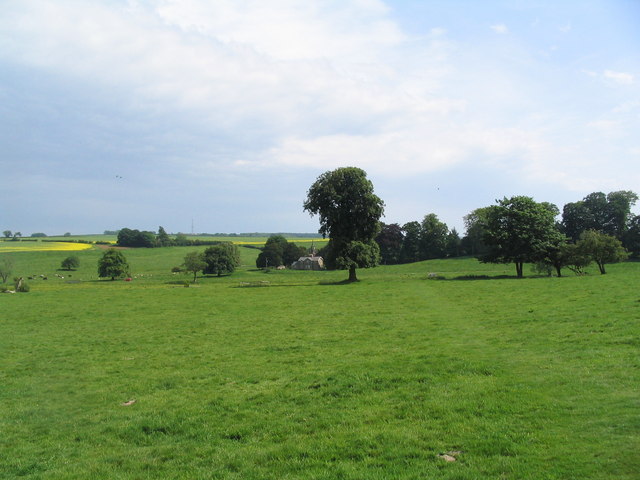
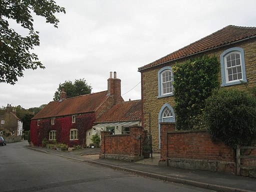
![]() This circular walk explores the Lincolnshire Wolds AONB, visiting numerous pretty villages, parks and hills.
This circular walk explores the Lincolnshire Wolds AONB, visiting numerous pretty villages, parks and hills.
It runs for just under 80 miles, following a series of public footpaths and quiet country lanes through some lovely scenery.
Starting in Louth the walk takes you through the settlements of Legbourne, Burwell, Swaby, South Ormsby, Somersby, Salmonby, Fulletby, Belchford, Scamblesby, Goulceby, Donington on Bain, Biscathorpe, Grim's Mound, South Cadeby, Wykeham, Ludford, Tealby, Walesby, Normanby le Wold, Nettleton, Rothwell, Cuxwold, Hatcliffe, East Ravendale, Wold Newton, the sites of Beesby village and Cadeby village and South Elkington Circular Walk.
Route highlights include the lovely Hubbard's Hills, a country park located in Louth.
For an alternative circular route that is suitable for both cyclists and walkers see the Lindsey Trail page.
Scroll down for the full list of walks in and around the Lincolnshire Wolds.
Lincolnshire Wolds Way Ordnance Survey Map  - view and print off detailed OS map
Lincolnshire Wolds Way Open Street Map  - view and print off detailed map
*New* - Walks and Cycle Routes Near Me Map - Waymarked Routes and Mountain Bike Trails>>
Lincolnshire Wolds Way OS Map  - Mobile GPS OS Map with Location tracking
Lincolnshire Wolds Way Open Street Map  - Mobile GPS Map with Location tracking
Walks in the Lincolnshire Wolds
- Biscathorpe - This Lincolnshire Wolds walk takes you from the medieval village at Biscathorpe to another medieval site at nearby Wykeham
- Tealby - This pretty village near Market Rasen is surrounded by some lovely rolling Lincolnshire Wolds countryside
- Hubbard's Hills - This area of natural beauty in Louth is a lovely place for an afternoon stroll
- Snipe Dales Country Park - Explore 220 acres of country park and nature reserve in the beautiful Lincolnshire Wolds
- Lindsey Trail - This new bridleway runs through the Lincolnshire Wolds AONB and is suitable for both walkers and cyclists with a hybrid or mountain bike
- Louth Canal - Enjoy a waterside walk along the Louth Canal from Louth to Tetney Marshes
- Caistor - This circular walk from the Roman Town of Caistor takes you through the countryside to the neighbouring villages of Nettleton and Rothwell
- Alford - This small market town is located in a lovely spot on the edge of the Lincolnshire Wolds AONB
- Willingham Woods - These woods near Market Rasen have miles of good footpaths and cycling trails to try.
- Horncastle - This walk takes you along the old Horncastle Canal and the River Bain from the town centre of this Lincolnshire town.
- Covenham Reservoir - Enjoy a circular walk around this pretty reservoir and along the Louth Canal on this waterside walk in Lincolnshire.
- Woodhall Spa - Woodhall Spa is a very attractive former spa town on the edge of the Lincolnshire Wolds
- Wanderlust Way - Follow the Wanderlust Way through the Lincolnshire Wolds AONB and enjoy splendid views of the Humber Estuary on this circular walk
- Silver Lincs Way - This walk links the towns of Grimsby and Louth and celebrates the Silver Jubilee of the Grimsby Louth group of the Ramblers Association.
The walk begins on the outskirts of Grimsby and follows footpaths, bridleways and country lanes to Louth - Donington on Bain - This pretty village is located in the Lincolnshire Wolds AONB, on the banks of the River Bain
- Goulceby - Goulceby is a Lincolnshire Wolds village located in the East Lindsey district of the county.
Pubs/Cafes
In Goulceby you could enjoy a pit stop at The Three Horseshoes. They have a good menu and a nice garden area to sit in. They also have a decent Glamping & campsite if you need to stay over. You can find them at postcode LN11 9WA.
In the village you could also take a small detour from the route to visit the splendid Red Hill Nature Reserve. There's a steep chalk escarpment with wonderful views and some rare plants and flowers to see here.
Photos
View across site of medieval village of Biscathorpe. Very little to see in terms of the old village. But a nice view across the River Bain towards the church of St Helen


