Beamish Woods
![]()
![]() These pretty woods in the village of Beamish have some nice woodland trails to try. There's also some waterside paths along the River Team and bluebells in springtime.
These pretty woods in the village of Beamish have some nice woodland trails to try. There's also some waterside paths along the River Team and bluebells in springtime.
This circular walk runs for about 2 miles taking you through Ousbrough Woods to Ousbrough Hill.
About a mile north west of the site there's another nice woodland walk in the grounds of Beamish Hall. The 18th-century country house includes 24 acres of grounds with themed family trails at certain times of the year.
Also nearby is the excellent Beamish Museum. The open-air museum is a fascinating place for a stroll with original and replica buildings, a large collection of artifacts, working vehicles and equipment, as well as livestock and costumed interpreters.
The Consett and Sunderland Railway Path runs past the woods so you could pick this up to continue your walking in the area.
Beamish Woods Ordnance Survey Map  - view and print off detailed OS map
Beamish Woods Open Street Map  - view and print off detailed map
Beamish Woods OS Map  - Mobile GPS OS Map with Location tracking
Beamish Woods Open Street Map  - Mobile GPS Map with Location tracking
Further Information and Other Local Ideas
Just to the south you'll find Waldridge Fell Country Park where you can look out for Roe Deer in the lowland heath and woods.
On the outskirts of nearby Consett there's Allensford Country Park to explore. There's nice riverside trails, a decent cafe and a lovely waterfall on the Wharnley Burn in this popular and picturesque park.
For more walking ideas in the area see the County Durham Walks page.
Cycle Routes and Walking Routes Nearby
Photos
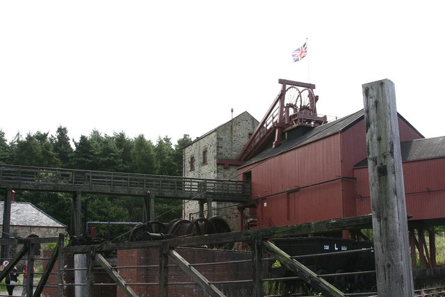
Beamish Museum, County Durham, England. This is the Pit Village, viewed from the north west. The tracks are the sidings for the railway serving the Colliery, which is just about visible beyond the village.
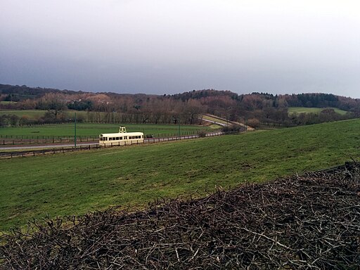
Beamish Museum, County Durham, England. This is the view north across part of the section of the tramway between the Pockerley stop and the Town. Taken from the track between the Pockerley stop and Pockerley Old Hall, the Pockerley stop itself is just out of shot to the left, while the rooftops of the Town are just about visible in the trees behind the tram. The tram is No. 280, heading for Town.
Pockerley Manor Garden, Pockerley Old Hall in Beamish Museum. This is the view from the house across the ornamental garden to the south. Out of sight down the slope beyond the railings is a vegetable garden.


