Bennachie Walks
![]()
![]() Explore the Bennachie Forest and the Bennachie Hills on a series of fine walking trails. This circular walk climbs to the two highest peaks in the range where you can enjoy some fabulous views over Aberdeenshire.
Explore the Bennachie Forest and the Bennachie Hills on a series of fine walking trails. This circular walk climbs to the two highest peaks in the range where you can enjoy some fabulous views over Aberdeenshire.
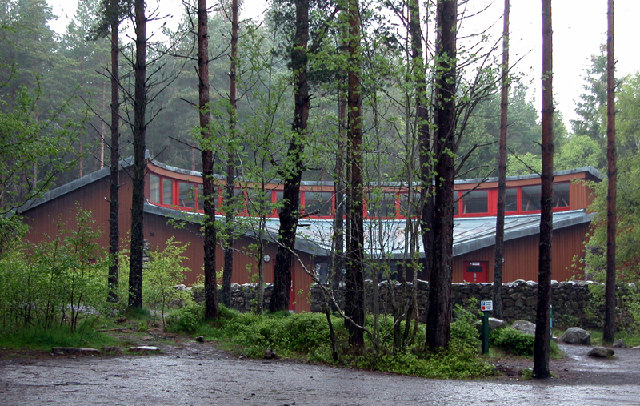
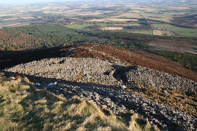
Starting at the car park and visitor centre follow trails north west to Mither Tap. It's a challenging climb to the summit which includes an interesting Iron Age Hillfort and stands at a height of 518m (1699ft).
Just to the west you will find the high point of the range at Oxen Craig. The peak here is 528 metres (1,732 ft) and includes a Summit Indicator which shows all the hills you can see from the viewpoint.
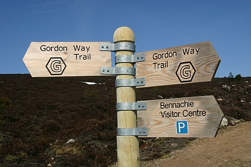
After taking in the views the route descends southwards to the Gordon Way trail. You then follow woodland trails back to the car park.
The area is also great for wildlife spotting. Look out for red squirrels, siskins, crossbills, buzzards, red grouse and longtailed tit.
This route uses a section of the Gordon Way which runs through the forest. You can extend your walk by following the waymarked trail west to the peaks of Watch Crag, Knock Saul and Suie Hill.
From the Mither Tap summit you can follow trails south to Millstone Hill where there are more fine views. You can see all the trails on the maps below.
To continue your woodland walking head to the nearby Kirkhill Forest. There's miles of good waymarked trails with more hill climbs and great viewpoints to be found here.


