Blisworth Walks
6 miles (9.6 km)
![]()
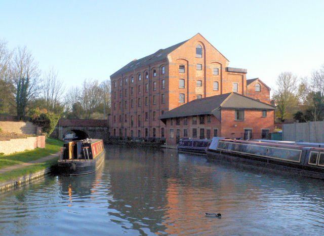
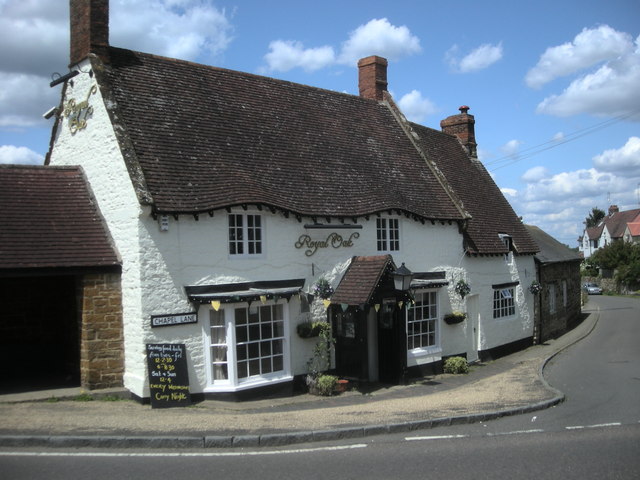
![]() This West Northamptonshire based village sits in a pleasant rural spot on the Grand Union Canal Walk.
This West Northamptonshire based village sits in a pleasant rural spot on the Grand Union Canal Walk.
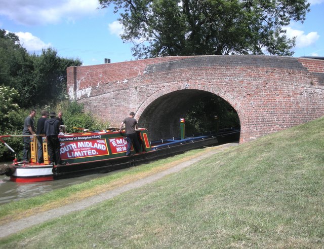
This circular walk from the village takes you south along the canal to neighbouring Stoke Bruerne. You can then return through the countryside on a section of the Midshires Way. The route also passes along the Blisworth Tunnel which runs between the two villages. Along the way there's some pleasant views of the surrounding countryside to enjoy.
Blisworth Ordnance Survey Map  - view and print off detailed OS map
Blisworth Open Street Map  - view and print off detailed map
Blisworth OS Map  - Mobile GPS OS Map with Location tracking
Blisworth Open Street Map  - Mobile GPS Map with Location tracking
Walks near Blisworth
- Grand Union Canal Walk - Follow the towpath of Britain's longest canal from London to Birmingham on this fabulous waterside walk
- Stoke Bruerne - This walk follows the Grand Union Canal Walk from Stoke Bruerne to Cosgrove.
- Midshires Way - This route follows public bridleways and quiet country lanes through Middle England, from Bledlow, near Aylesbury in Buckinghamshire, to Stockport in Greater Manchester
- Milton Keynes Boundary Walk - Enjoy rivers, canals, woodland and beautiful countryside on this walk around the boundary of Milton Keynes
- Grafton Way - Follow the Grafton Way from Wolverton, Milton Keynes to Greens Norton in Northamptonshire
- Cosgrove - This canalside Northamptonshire based village is a nice place to start a walk
- Braunston to Whilton Locks - This walk visits the Whilton Locks flight on the Grand Union Canal near Daventry


