Stoke Bruerne Canal Walk
![]()
![]() This walk follows the Grand Union Canal Walk from Stoke Bruerne to Cosgrove.
This walk follows the Grand Union Canal Walk from Stoke Bruerne to Cosgrove.
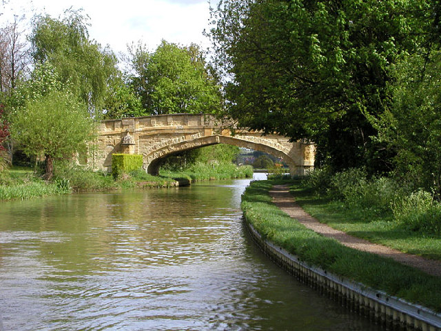
Start the walk on the canal in the lovely Northamptonshire village of Stoke Bruerne. The picturesque village includes the interesting Canal Museum where an audio guide will take you on a journey through the stories and traditions of Britain's historic canals. Heading north from the village takes you to Blisworth Tunnel but this walk takes you south to Grafton Regis, Yardley Gobion and Cosgrove. Here you'll find Solomon's Bridge which dates from 1800 and is built in an unusual gothic style. In the village you can enjoy refreshments at The Barley Mow pub. Housed in a lovely 17th Century building the pub boasts a large beer garden to relax in during the summer months.
To extend the walk continue a short distance south to visit the Iron Trunk Aqueduct and Wolverton. Also known as Cosgrove aqueduct the noteworthy structure carries the Grand Union Canal over the River Great Ouse and is well worth a visit.
The Milton Keynes Boundary Walk passes the canal at Grafton Regis. You could pick up the waymarked trail to further explore the area. The Grafton Way also runs through the area. You could follow it back from Cosgrove to Yardley Gobion as an alternative return route.
Stoke Bruerne Ordnance Survey Map  - view and print off detailed OS map
Stoke Bruerne Open Street Map  - view and print off detailed map
Stoke Bruerne OS Map  - Mobile GPS OS Map with Location tracking
Stoke Bruerne Open Street Map  - Mobile GPS Map with Location tracking
Pubs/Cafes
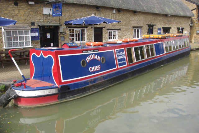
The village of Stoke Bruerne has some good options for canalside refreshments. The Boat Inn is located right next to the canal, opposite the interesting Canal Museum. The pub has been owned and operated by the Woodward family since 1877 when it formed part of the Duke of Grafton's 'Wakefield' estate. In those early days, the inn was run in conjunction with the family's other businesses - the local butchery, bakery, smallholding and working narrowboats. The Boat Inn is believed to be the longest running family pub, that has maintained the same family name throughout (140+ years), and is therefore claimed to be the longest lineage of licensee in the country. The Navigation is another delightful country pub in a gorgeous setting overlooking the Grand Union Canal in the village. Find a spot on the patio and watch the narrow boats negotiate the locks with a pint of real ale.
Cycle Routes and Walking Routes Nearby
Photos
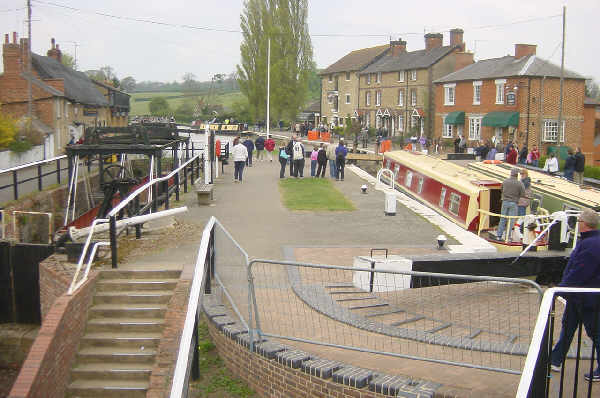
Stoke Bruerne. The village of Stoke Bruerne in Northamptonshire is built around the canal. Visitors are attracted there by the Canal Museum and canalside pubs. The busy lock on the right provides visitors with plenty of entertainment. The disused lock on the left was fitted with boat-weighing scales.


