Bracklesham Bay
![]()
![]() Enjoy a walk along the West Sussex coast from Bracklesham Bay to the Medmerry RSPB Nature Reserve. It's a nice stretch of coast with some good wildlife spotting opportunities as well.
Enjoy a walk along the West Sussex coast from Bracklesham Bay to the Medmerry RSPB Nature Reserve. It's a nice stretch of coast with some good wildlife spotting opportunities as well.
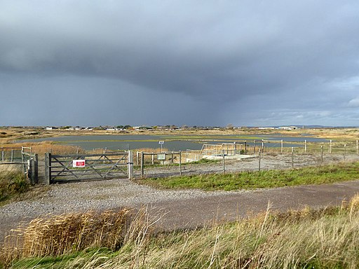
You can start the walk from the car park on the sea front between East Wittering and Bracklesham. The coastal path then heads south east along the bay to RSPB Medmerry with views over the pebble beach to the Isle of Wight. You can then follow a path leading north away from the coast about a mile from Bracklesham. This will take you into the reserve where you can follow footpaths around the site. There's a wide range of habitats to explore such as intertidal mudflats, grassland, farmland saltmarsh and lagoons. Look out for birds such as Lapwing, Skylark and Avocet from the bird hides dotted along the walk. After exploring the reserve the walk returns to Bracklesham on the same paths.
You can continue your walking in the area by heading west from the car park to West Wittering and East Head where there's more lovely trails and beaches. Also nearby is Pagham Harbour where there's lots more wildlife to see in the reserve.
Bracklesham Bay Ordnance Survey Map  - view and print off detailed OS map
Bracklesham Bay Open Street Map  - view and print off detailed map
Bracklesham Bay OS Map  - Mobile GPS OS Map with Location tracking
Bracklesham Bay Open Street Map  - Mobile GPS Map with Location tracking
Further Information and Other Local Ideas
The bay is designated as a biological and geological Site of Special Scientific Interest. It looks out onto the English Channel with the Isle of Wight visible from the beach, as is the Nab Tower lighthouse and the Spinnaker Tower in Portsmouth. The pebble beach is well known as good place to look out for fossils
Cycle Routes and Walking Routes Nearby
Photos
Farmland, Bracklesham Bay. Looking north east from the beach with Greenwood Farm just visible in the background. The line of dark bushes across the centre marks the location of Broad Rife.
Path from Bracklesham Beach. A sign closer to the Holiday Village refers to the buildings as huts. Photograph taken from the gravel ridge that here keeps the sea at bay.


