GPS Cycle and Walking Routescycle iconwalk icon

Walk From Selsey To West Wittering

9.94 miles (16 km)

Ordnance Survey Map Open Streetmap This walk takes you from Selsey to West Wittering via Bracklesham Bay.
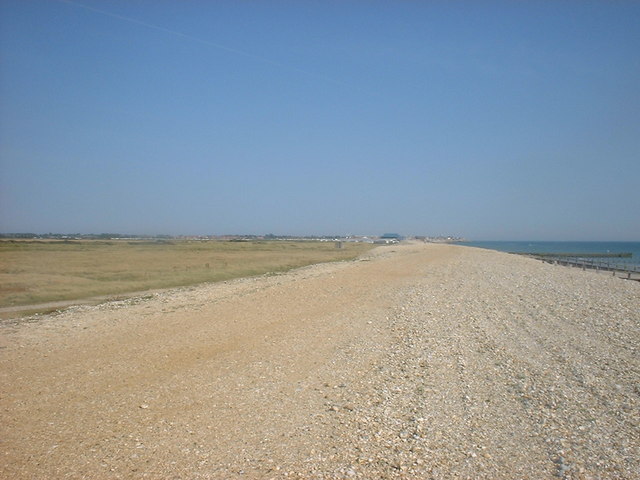
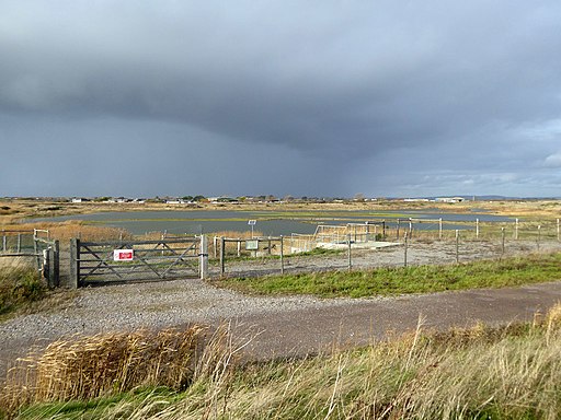
It's about a 10 mile walk following the shingle beach west before heading inland through the countryside. You'll pass the RSPB Medmerry Nature Reserve before returning to the coast at Bracklesham Bay. The reserve's habitats include mudflats and saltmarsh with a large variety of wildlife to see. Keep your eyes peeled for lapwing and avocet around the pretty lagoons.
From Bracklesham you head west along the beach to East Wittering before finishing at West Wittering. Here you can continue your exercise on the West Wittering and East Head Walk which will take you to the National Trust owned East Head.

Walk From Selsey To West Wittering OS Map Ordnance survey map - Mobile GPS OS Map with Location tracking

Walk From Selsey To West Wittering Open Street Map Open Streetmap - Mobile GPS Map with Location tracking

Cycle Routes and Walking Routes Nearby

Photos

Selsey Bill gibbet plaque 03

Blue plaque commemorating the gibbeting of two smugglers of the Hawkhurst Gang on Selsey Bill in 1749. Selsey, West Sussex, England.

West Sands beach - Selsey - geograph.org.uk - 268853

West Sands beach

Bracklesham beach looking south-east - geograph.org.uk - 816872

Bracklesham beach looking south-east

Selsey - geograph.org.uk - 5087

Selsey countryside

East Wittering Beach - geograph.org.uk - 4364560

East Wittering Beach

West Wittering Beach - geograph.org.uk - 2029740

West Wittering Beach

The Stilt Pools, RSPB Medmerry (geograph 5976833)

The Stilt Pools, RSPB Medmerry

The Stilt Pools, RSPB Medmerry (geograph 5977114)

RSPB Medmerry

GPS Files

GPX File

Walk From Selsey To West Wittering.gpx (On Desktop:Right Click>Save As. On Ipad/Iphone:Click and hold>Download Linked File)