Braunton Burrows
![]()
![]() This circular walk explores the expansive sand dune system of a beautiful nature reserve on the North Devon Coast. On the way you can enjoy a variety of wildlife, coastal views and several species of specialised plants.
This circular walk explores the expansive sand dune system of a beautiful nature reserve on the North Devon Coast. On the way you can enjoy a variety of wildlife, coastal views and several species of specialised plants.
Braunton Burrows covers nearly 900 hectares making it the second largest dune system in England. Almost 500 species of plant have been recorded making Braunton the most biodiverse parish in England. Plant species include sea stock, sand toadflax, bee orchid and water germander. It's also great for wildlife with hundreds of rabbits, 33 species of butterfly and birds which include the Ringed Plover.
You can easily extend your walk by heading to the coast and enjoying a stroll along the lovely Saunton Sands on the Croyde Bay and Saunton Sands Walk. The Tarka Trail also passes the reserve so you could pick this up and head to the estuary of the Rivers Taw and Torridge which is a short distance away.
This circular walk starts from the car park at the end of Sandy Lane but you could also start from Braunton village and follow the Tarka Trail to the reserve.
Postcode
EX33 2NX - Please note: Postcode may be approximate for some rural locationsBraunton Burrows Ordnance Survey Map  - view and print off detailed OS map
Braunton Burrows Open Street Map  - view and print off detailed map
Braunton Burrows OS Map  - Mobile GPS OS Map with Location tracking
Braunton Burrows Open Street Map  - Mobile GPS Map with Location tracking
Explore the Area with Google Street View 
Pubs/Cafes
Head to the Beachside Grill at Saunton Sands for some post walk refreshments. This laid back grill is part of the Saunton Sands Hall. It sits in an ideal position, right next to the beach with fine views of the sands from the lovely outdoor balcony or the attractive interior. It's easy to find right next to the beach with a postcode of EX33 1LQ.
Dog Walking
The long beach and dunes are one of the premier dog walking area in the country and the Beachside Grill mentioned above is also dog friendly. To the west at Saunton Sands, North Devon’s only all-year dog-friendly beach which is also a great place to let your pooch stretch its legs and go for a swim in the sea. The Beachside Grill mentioned above is also dog friendly.
Further Information and Other Local Ideas
Just to the south there's more nice walks around Crow Point. This popular spot is located on the River Taw and Torridge estuary. There's a car park, boardwalks and miles of sandy beach to enjoy.
Cycle Routes and Walking Routes Nearby
Photos
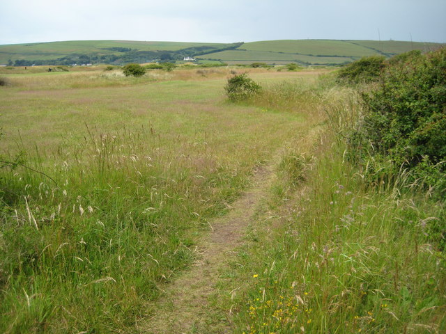
View across the snad dunes of Braunton Burrows, part of which is used by the militray and another part is a golf course. The large white building in the distance is the Saunton Sands Hotel.
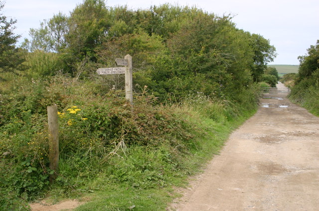
South West Coast Path at the reserve. Well maintained wooden slat path minimising damage to fragile dune plants.


