Brodick Castle Walk
![]()
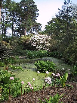
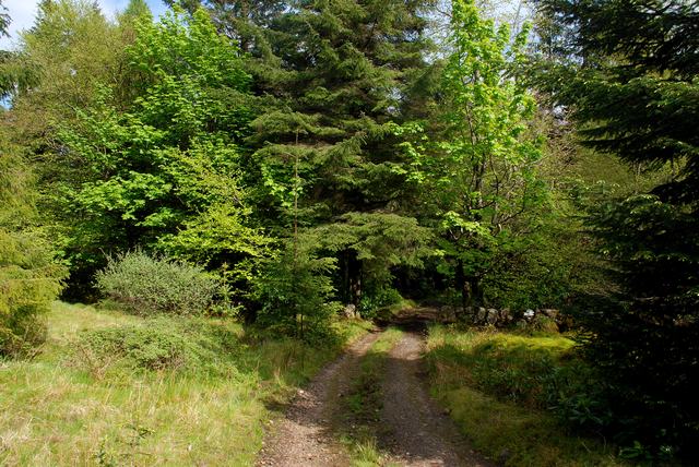
![]() Explore this stunning country park on the Isle of Arran on this walk in Scotland. There are miles of trails taking you to landscaped gardens, woodland, wildlife ponds, waterfalls and coastline, all set against the backdrop of Goatfell mountain.
Explore this stunning country park on the Isle of Arran on this walk in Scotland. There are miles of trails taking you to landscaped gardens, woodland, wildlife ponds, waterfalls and coastline, all set against the backdrop of Goatfell mountain.
If you'd like to continue your walking in the area then you could climb Goatfell for fabulous views over Arran.
At the castle you can also pick up the Arran Coastal Way and explore the whole coastline of the island. The 66 mile route is classified as one of Scotland's Great Trails.
The Glen Rosa Waterfall Walk also starts from the car park on the western side of the castle grounds. This will take you along the delightful Glenrosa Water with its picturesque waterfalls and stunning views.
Postcode
KA27 8HY - Please note: Postcode may be approximate for some rural locationsPlease click here for more information
Brodick Castle Ordnance Survey Map  - view and print off detailed OS map
Brodick Castle Open Street Map  - view and print off detailed map
Brodick Castle OS Map  - Mobile GPS OS Map with Location tracking
Brodick Castle Open Street Map  - Mobile GPS Map with Location tracking
Pubs/Cafes
There is an on site cafe where you can enjoy refreshments after your walk. There's also the Cafe Rosaburn at the nearby Isle of Arran Heritage Museum which is also well worth a visit. Originally the site of a small school, the present group of buildings were a croft and smiddy, and include a farmhouse, cottage, bothy, milk house, laundry, stable, coach house and harness room. The interesting range of exhibits reflect the social history, archaeology and geology of the island. You can find the museum just to the south of the castle at a postcode of KA27 8DP.
Dog Walking
The castle grounds are a lovely place for a dog walk but please keep them on leads.
Further Information and Other Local Ideas
To the south there's the lovely Glenashdale Falls where you can enjoy a fine walk along the Glenashdale Burn in the pretty coastal village of Whiting Bay. You can also pick up the Lamlash to Brodick Walk which will take you along a fine coastal trail to neighbouring Lamlash.


