Burghfield Wokefield Common
![]()
![]() This walk explores Wokefield Common Nature Reserve in Burghfield Common, West Berkshire.
This walk explores Wokefield Common Nature Reserve in Burghfield Common, West Berkshire.
The common is criss crossed by a number of wide footpaths with woodland trails, ponds and lots of wildlife to see. There is a car park off Goring Lane from which you can start your walk.
You can extend the walk by heading south to visit Starvale Woods and Mortimer Common.
Postcode
RG7 3JB - Please note: Postcode may be approximate for some rural locationsBurghfield Wokefield Common Ordnance Survey Map  - view and print off detailed OS map
Burghfield Wokefield Common Open Street Map  - view and print off detailed map
Burghfield Wokefield Common OS Map  - Mobile GPS OS Map with Location tracking
Burghfield Wokefield Common Open Street Map  - Mobile GPS Map with Location tracking
Walks near Burghfield Common
- Reading Canal Walk - This walk takes you along the Kennet and Avon Canal from Reading to Aldermaston Wharf
- Reading Circular River Walk - This circular walk takes in a number of waterways including the River Thames, the River Kennet and the Kennet and Avon Canal
- Aldermaston - This Berkshire based village has some nice river and canalside trails to try.
- Silchester - This walk follows the waymarked Silchester trail around the Hampshire village
- Tadley - This Hampshire based town is located near to some large areas of woodland and the attractive scenery of the North Downs
- Wellington Country Park - This 350 acre park is very popular with walkers with four splendid nature trails to follow
- Caversham Court Gardens - Explore these beautiful award winning gardens on the banks of the River Thames on this short walk in the Caversham area of Reading
- Bucklebury Common - This large area of common land in Berkshire covers 350 hectares (860 acres)
- Spencers Wood - This Berkshire based village is located in a rural spot just south of the town of Reading.
- Theale - This walk explores the lakes, canal and river surrounding the West Berkshire village of Theale.
- St James' Way - This long distance pilgrimage walk takes you from Reading Abbey to the port of Southampton
Dog Walking
The woodland trails are ideal for a dog walk so expect to see other owners on a fine day.
Further Information and Other Local Ideas
Head north and you can enjoy canal walks and a visit to the wildlife rich Hosehill Lake Nature Reserve on the Theale Walk.
The St James' Way pilgrimage route passes through the area. The long distance waymarked trail can be followed north to the historic ruins of Reading Abbey or south to Southampton.
Photos
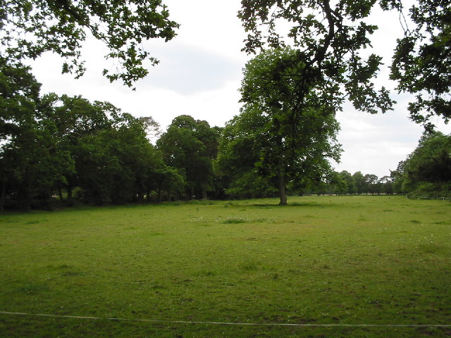
Wokefield Common. The north-eastern part of the extensive woodland of the area. This common is managed by West Berkshire Council (formerly Newbury District Council whose sign is still here 11 years after that council ceased to exist).


