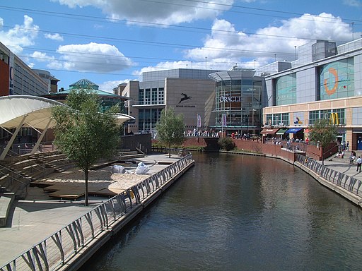
Reading Canal Walk
![]()
![]() This walk takes you along the Kennet and Avon Canal from Reading to Aldermaston Wharf. It's a nice easy 11 mile route along a flat towpath, with the option of returning to Reading on a direct train.
This walk takes you along the Kennet and Avon Canal from Reading to Aldermaston Wharf. It's a nice easy 11 mile route along a flat towpath, with the option of returning to Reading on a direct train.
The walk starts on the Thames at Reading Bridge and follows the river to the canal. You then head south through the town along the towpath. The route then turns west, passing Burghfield Lock, Garson Lock and Sheffield Lock. You then pass the swing bridge at Tylemill before coming to Aldermaston Wharf. The wharf is a significant spot on the canal with a British Waterways visitor centre to explore. It includes a tea room and is located at the canal east of the lift bridge.
To continue your waterside walking in the Reading area try our Reading Circular River Walk. You can also pick up the Thames Path and enjoy a stroll along the epic National Trail.
Reading Canal Walk Ordnance Survey Map  - view and print off detailed OS map
Reading Canal Walk Open Street Map  - view and print off detailed map
Reading Canal Walk OS Map  - Mobile GPS OS Map with Location tracking
Reading Canal Walk Open Street Map  - Mobile GPS Map with Location tracking
Further Information and Other Local Ideas
Head west and you can enjoy canal walks, river trails and a visit to the wildlife rich Hosehill Lake Nature Reserve on the Theale Walk.


