Burton Upon Stather and Alkborough Flats Walk
![]()
![]() Burton Upon Stather is a North Lincolnshire based village located near Scunthorpe on the eastern side of the River Trent.
Burton Upon Stather is a North Lincolnshire based village located near Scunthorpe on the eastern side of the River Trent.
Local highlights include the Grade I listed church which dates to the 12th century. To the south east there's Normanby Hall Country Park where you can enjoy miles of trails around the parkland and woodland surrounding the 19th century hall.
This walk from the village takes you north along a section of the Nev Cole Way to the neighbouring village of Alkborough. Here you can explore the Alkborough Flats Nature Reserve and visit Trent Falls - the point where the Rivers Ouse, Humber and Trent all meet. The area is great for birdwatching and peaceful nature walks.
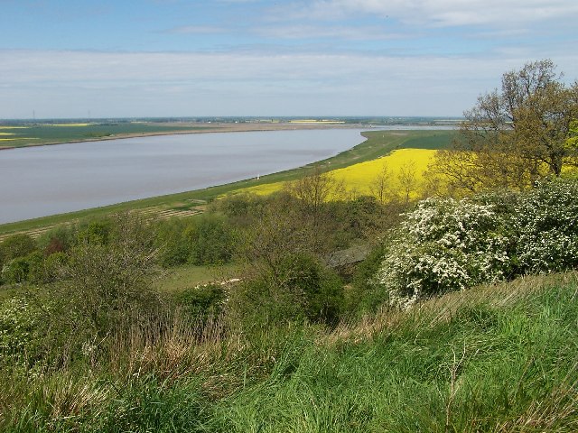
Starting in the village you head north to pick up The Cliff bridleway which runs just to the east of the River Trent. There are some nice views over the river from this elevated woodland path. It will lead you to Alkborough village where there's the interesting Julian's Bower - one of the last surviving medieval turf mazes in Britain. The maze is in a fine location overlooking the Humber Estuary.
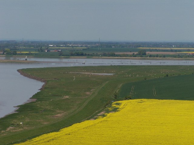
You then come to the Alkborough Flats Nature Reserve where can enjoy views of the confluence of the three major rivers at Trent Falls. It's an interesting area with the RSPB's Blacktoft Sands Nature Reserve on the opposite side. Here you can look out for a variety of wildlife including marsh harrier, bittern, kestrels, avocets and bearded tit.
The route then heads east along the River Humber Bank before finishing in the riverside village of Whitton.
Burton Upon Stather and Alkborough Flats Ordnance Survey Map  - view and print off detailed OS map
Burton Upon Stather and Alkborough Flats Open Street Map  - view and print off detailed map
Burton Upon Stather and Alkborough Flats OS Map  - Mobile GPS OS Map with Location tracking
Burton Upon Stather and Alkborough Flats Open Street Map  - Mobile GPS Map with Location tracking
Walks near Burton Upon Stather and Alkborough Flats
- Normanby Hall Country Park - Explore the three hundred acres of parkland and woodland surrounding the 19th century Normanby Hall
- Scunthorpe - The industrial Lincolnshire town of Scunthorpe has some nice local parks and woodland to explore on foot.
- Keadby Canal - This circular walk takes you along a section of the Stainforth and Keadby Canal in Crowle, Lincolnshire
- Brigg - This North Lincolnshire based market town has some fine waterside walking through the Ancholme Valley.
- Hull - This Yorkshire port city has some fine riverside trails and pictureque local parks to explore on foot.
- Barton Upon Humber - This Lincolnshire based market town sits in a nice location for waterside walks on the banks of the Humber Estuary.
- Twigmoor Woods - Enjoy a short stroll around these pretty woods near Scunthorpe
- Laughton Woods - Follow the long woodland trail through Laughton Woods on this easy walk in Lincolnshire
- Messingham Sand Quarry - This pretty nature reserve near Scunthorpe has nice footpaths running around and between a series of lagoons
- Gainsborough - This interesting market town in Lincolnshire is located in the West Lindsey district of the county
- Humber Bridge Country Park - This Country Park and Local Nature Reserve consists of woods, meadows, ponds and cliffs
- Humber Bridge - Follow the footpath across the Humber Bridge and enjoy fine views over the River Humber and the city of Hull in East Riding of Yorkshire
- Nev Cole Way - This walk runs from Burton Upon Stather and Alkborough Flats to Nettleton through the Lincolnshire countryside
- Blacktoft Sands - Enjoy a circular walk around this pretty RSPB nature reserve
Pubs/Cafes
The Ferry House Inn in Burton is a fine choice for some refreshments on the walk. The pub is located in a great place next to the River Trent just to the north west of the village. You can sit outside and enjoy a drink with splendid views over the river. You can find them at postcode DN15 9DJ for your sat navs.
Photos
Julian's Bower or maze. On a clear day, Emley Moor TV tower (40 miles), the top of York Minster and the Kilburn White Horse (45 miles) can be seen from Julian's Bower.


