Carrog Walks
![]()
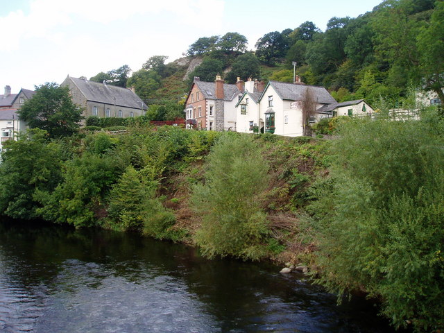
![]() This Denbighshire village sits just to the east of Corwen in the beautiful valley of the River Dee.
This Denbighshire village sits just to the east of Corwen in the beautiful valley of the River Dee.
This circular walk from the village uses a section of the Dee Valley Way and other country lanes to explore the area to the east of the settlement.
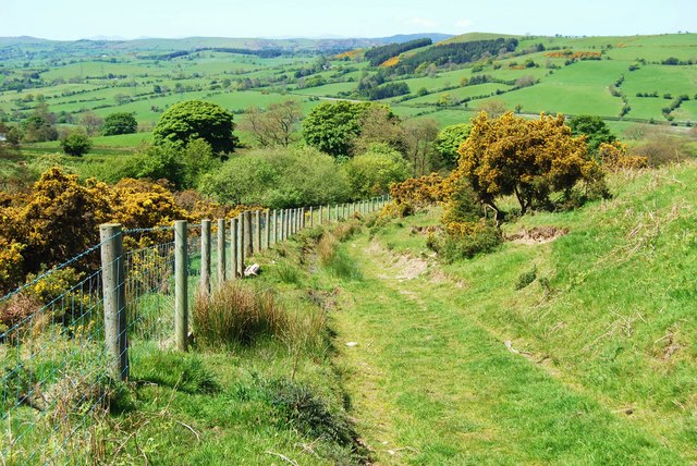
The walk starts in the village where you can pick up the waymarked Dee Valley Way and follow it north east to the hills and woodland above Carrog. You'll pass Taith Clwyd and enjoy some wonderful views from the high points on this section.
The route then descends to the river where you cross to the other side to visit the neighbouring village of Glyndyfrdwy. Here you can enjoy nice views of the river and stop off for refreshments.
The walk then finishes by following a pleasant country lane west to return to Carrog.
Postcode
LL21 9AT - Please note: Postcode may be approximate for some rural locationsCarrog Ordnance Survey Map  - view and print off detailed OS map
Carrog Open Street Map  - view and print off detailed map
Carrog OS Map  - Mobile GPS OS Map with Location tracking
Carrog Open Street Map  - Mobile GPS Map with Location tracking
Walks near Carrog
- Corwen - This Denbighshire based town is positioned in a lovely area with easy walks along the River Dee and more challenging climbs into the surrounding Berwyn Mountains
- North Berwyn Way - This challenging walk explores the North Berwyn Mountains, to the south of the River Dee, in Denbighshire
- Brenig Way - Follow the Brenig Way way from Corwen, in the Dee Valley, to the beautiful Llyn Brenig, in the heart of the Denbigh Moors
- Cadair Berwyn - Climb to the highest point in the Berwyn Mountains range on this challenging walk in North East Wales
- Lake Vyrnwy - Follow the lakeside cycle lanes around this lovely reservoir on this circular ride in Powys
- Pistyll Rhaeadr - This circular walk visits a spectacular 240-foot (73 m) waterfall regarded as one of the Seven Wonders of Wales
- Chirk Castle - Explore the gardens an wider estate surrounding this 13th century castle in Wrexham.
- Pontcysyllte Aqueduct - Visit the longest and highest aqueduct in Britain and enjoy waterside walking along the Llangollen Canal on this lovely walk in Denbighshire
- Oswestry - This large market town near the Welsh border has some nice walking trails to try to the west
- Glyn Ceiriog - This delightful riverside village is a great base for exploring the beautiful Ceiriog Valley in north-east Wales.
- Chirk to Llangollen Canal Walk - An easy waterside walk along a nice section of the Llangollen Canal from Chirk to Llangollen
- Llangollen Round - Explore the beautiful area around the town of Llangollen, in Denbighshire, on this circular walk, devised to raise funds for the Cancer Research UK charity
- Horseshoe Falls Llangollen - Enjoy a stroll along the River Dee to these lovely falls on this short walk in Denbighshire
- Llangollen Canal - Enjoy a waterside walk or cycle along the Llangollen Canal
- Upper Ceiriog Valley Walk - This is a circular cycling or walking trail through the countryside around Llanarmon Dyffryn Ceiriog near Wrexham.
- Dee Valley Way - This walk follows the Dee Valley Way from Corwen to Llangollen in Denbighshire, North Wales.
- Llandrillo - This Denbighshire based village sits a few miles south of Corwen in the Berwyn Mountains
Pubs/Cafes
The Grouse Inn is a lovely place for rest and refreshment after your exercise. The 19th century inn is in a great location overlooking the river and the ancient stone bridge of five arches. Built in 1660, the bridge connects Carrog's caravan site and railway station to the farming and village community. They serve delicious home cooked food and have a lovely outdoor terrace with views of the surrounding countryside. You can find them at postcode LL21 9AT for your sat navs.
Dog Walking
The woodland and country trails make for a fine dog walk. The Grouse Inn mentioned above is also dog friendly.
Further Information and Other Local Ideas
To continue your walking in the area pick up the epic North Berwyn Way to explore the wonderful Berwyn Mountain range.


